-
62°28'16.0"N 6°09'05.4"E
-
62.471115, 6.151491
Distance
Highlights


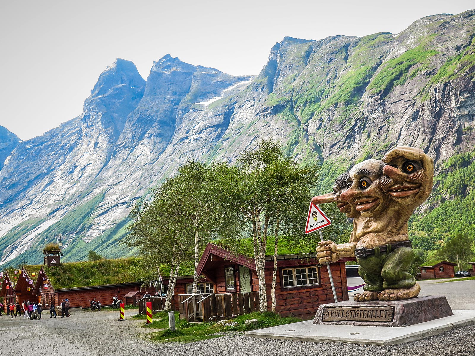
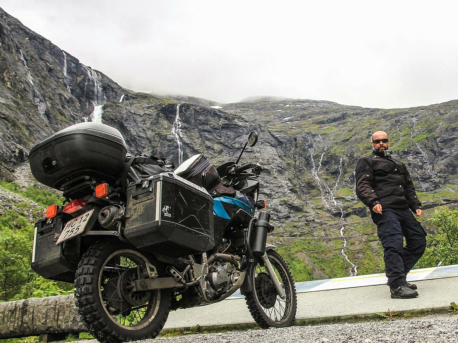
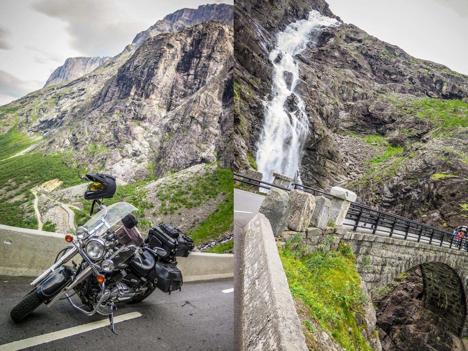
Trollstigen & Stigfossen waterfall
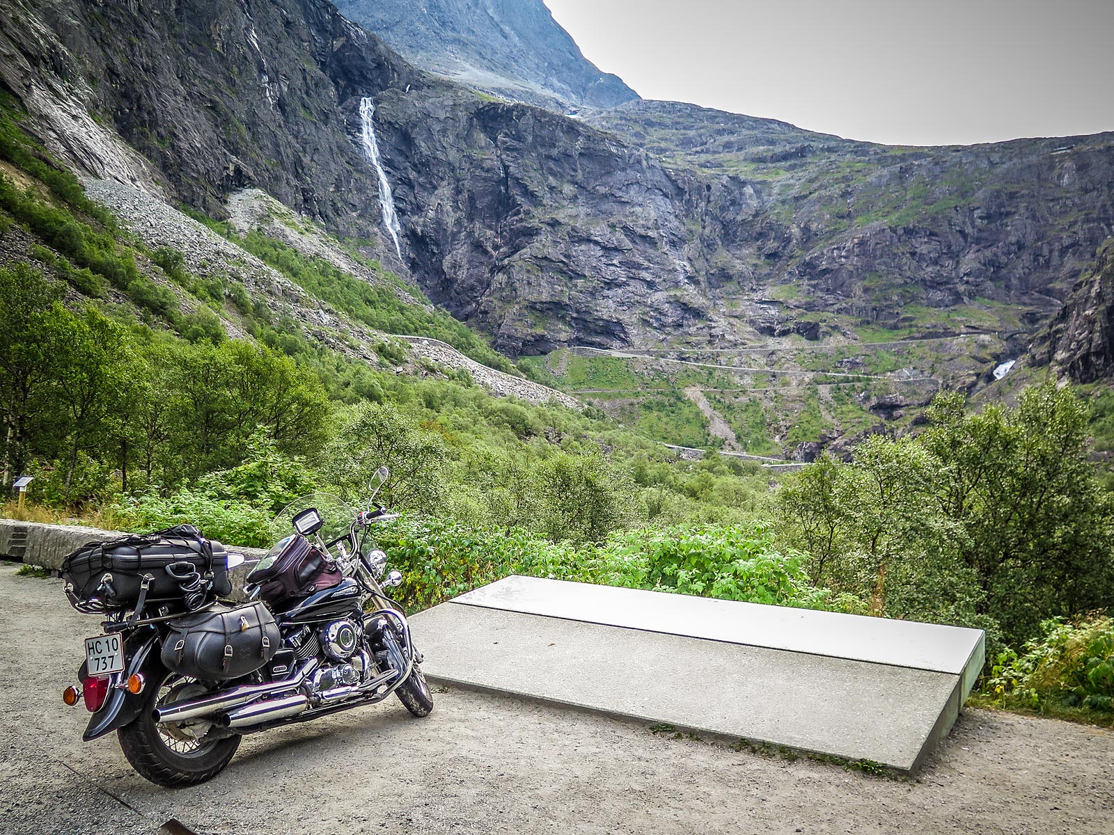
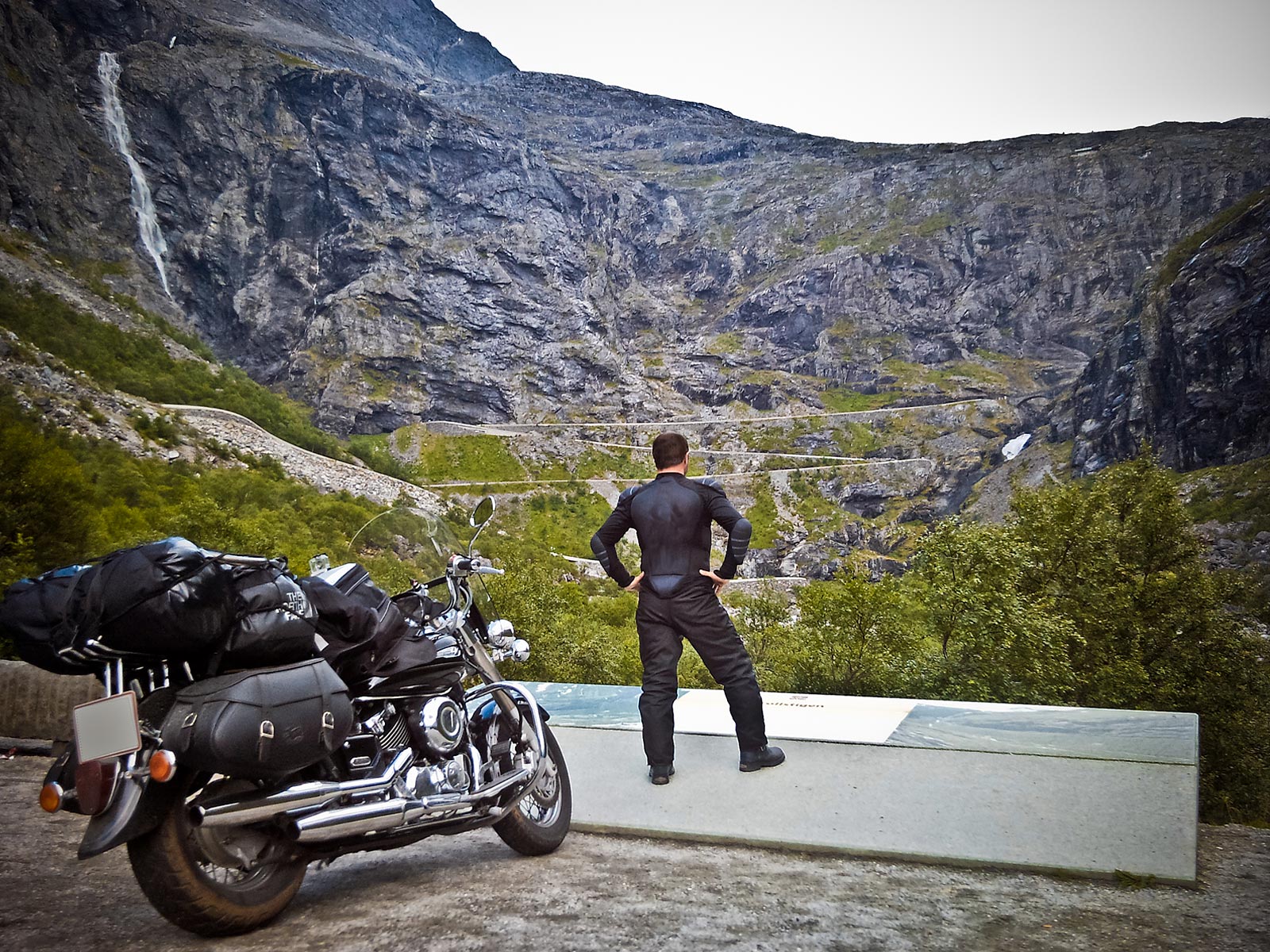
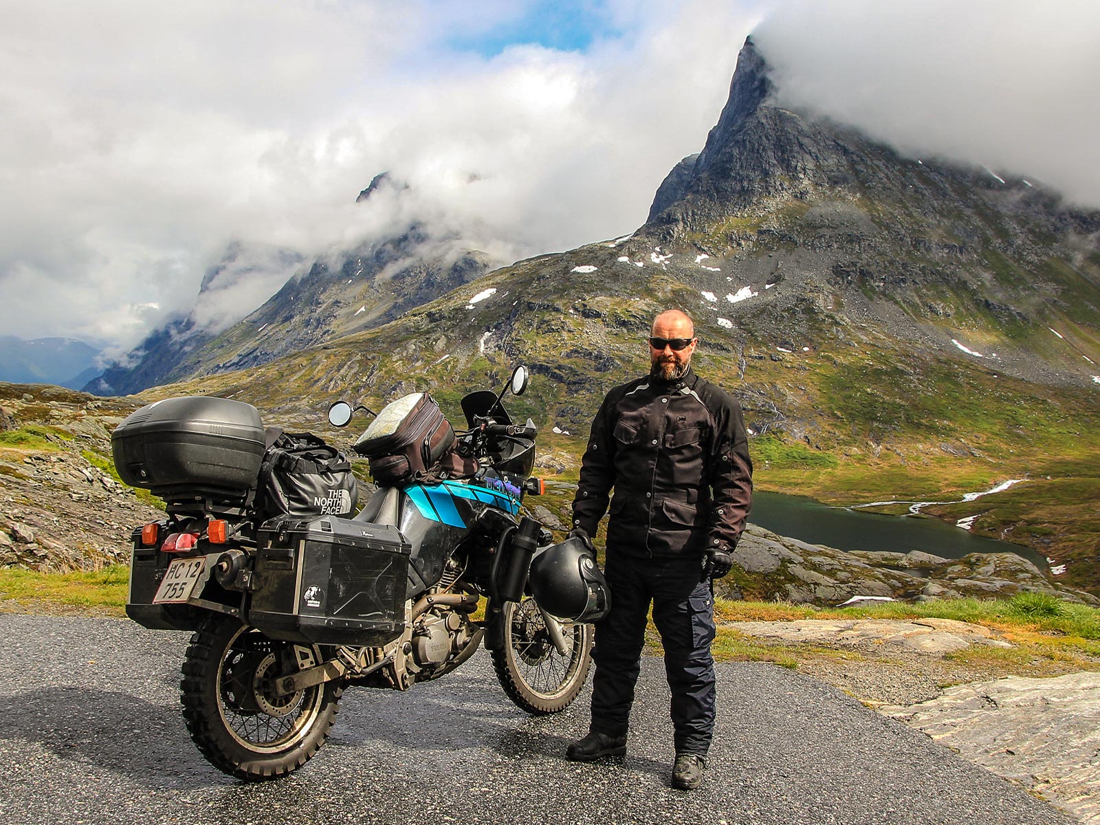
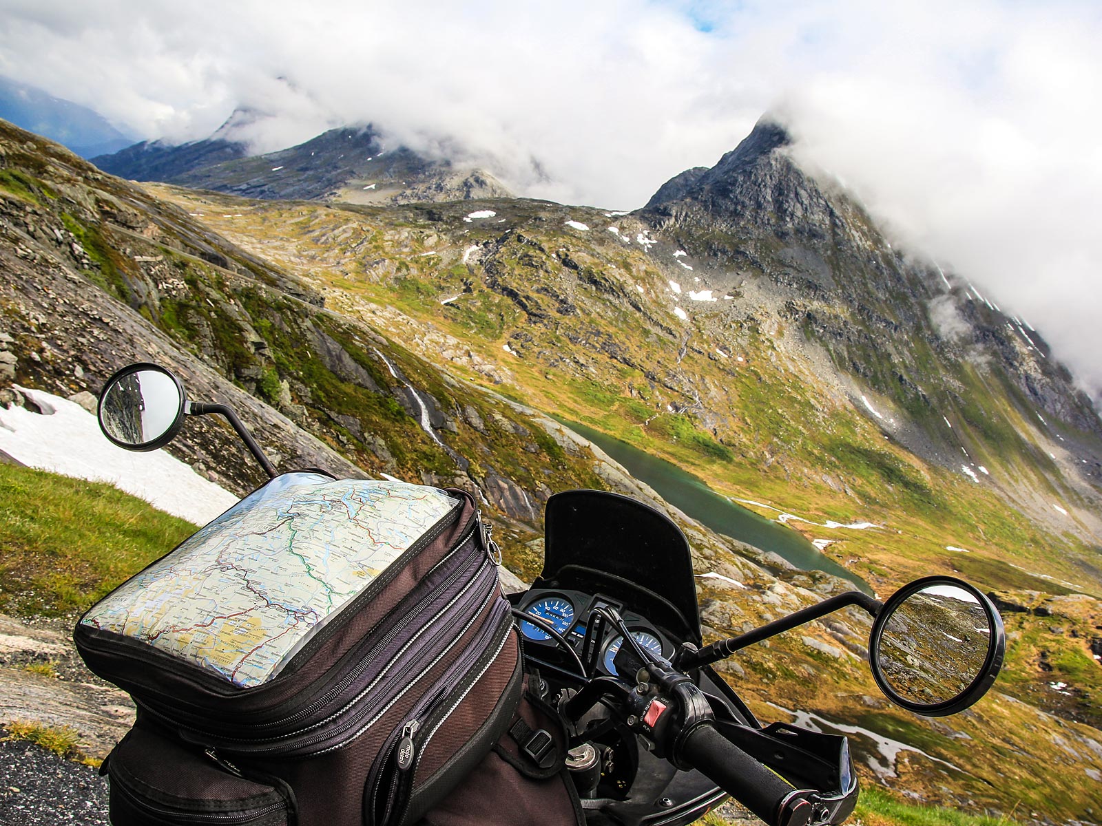
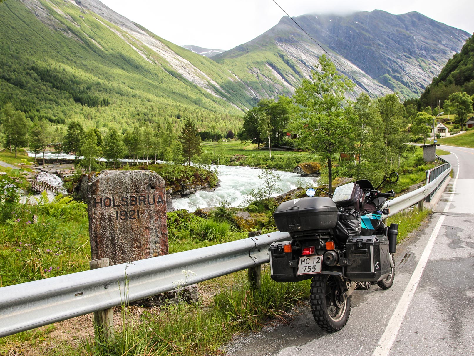
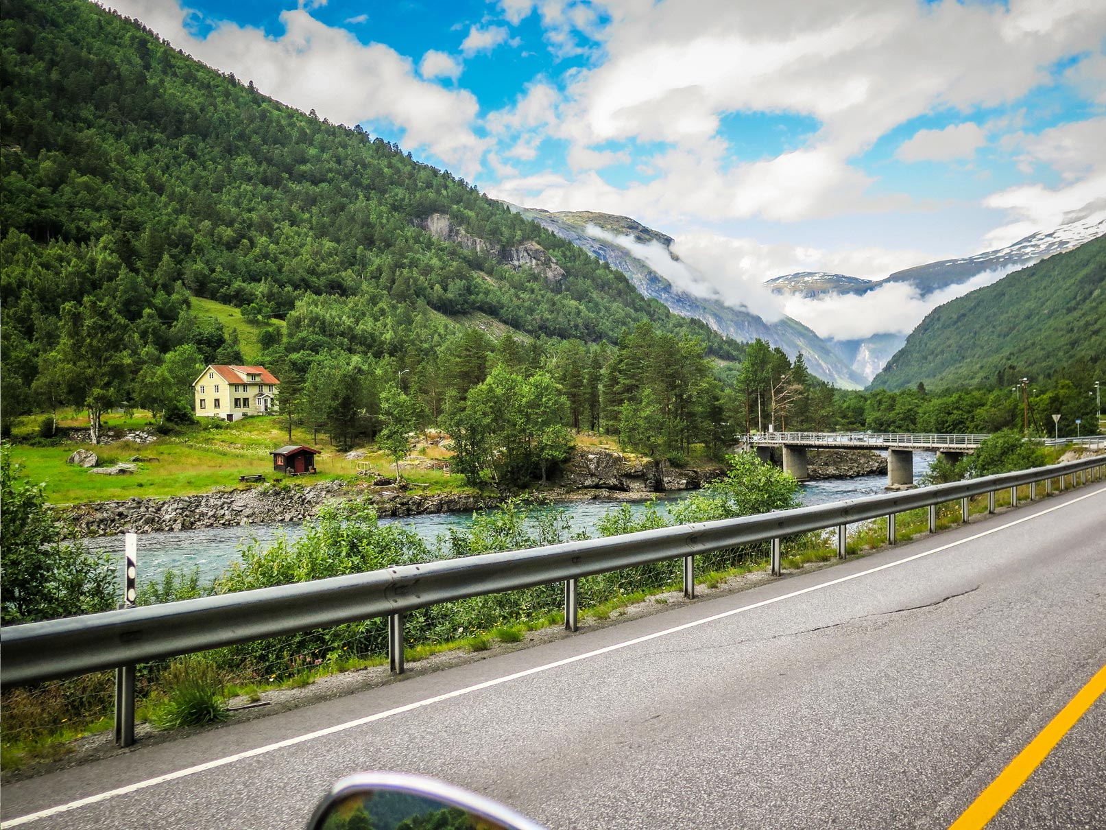
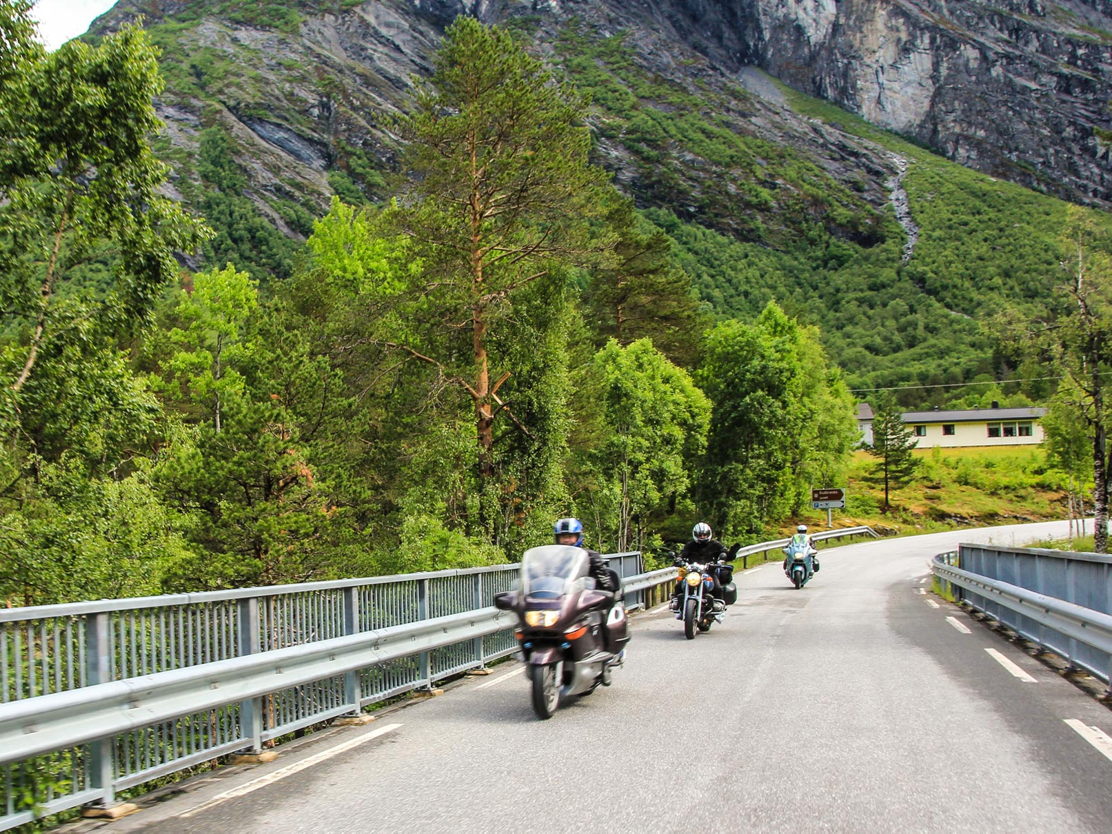
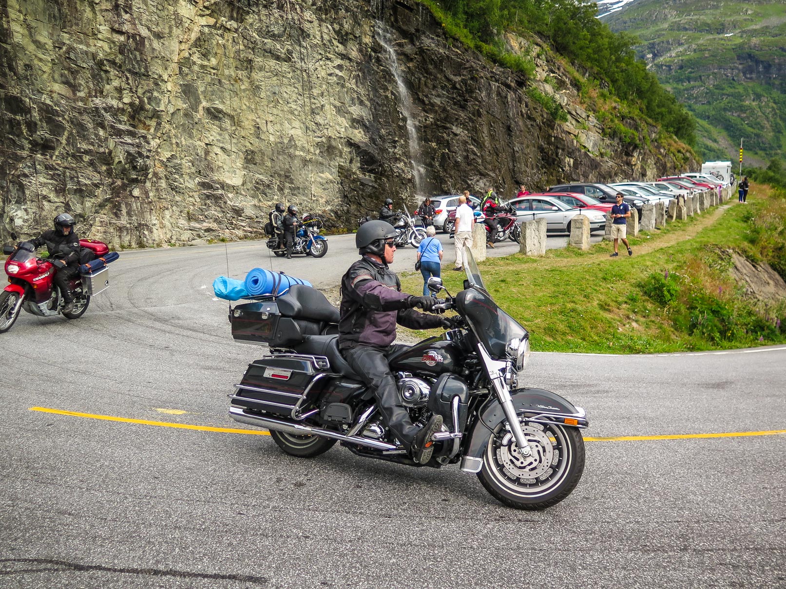
We arrived at Trollstigen on the way from Ålesund to Geiranger, travelling south along Norwegian National Road 63, which connects Soggeberget in Rauma, and Valldal in Norddal.
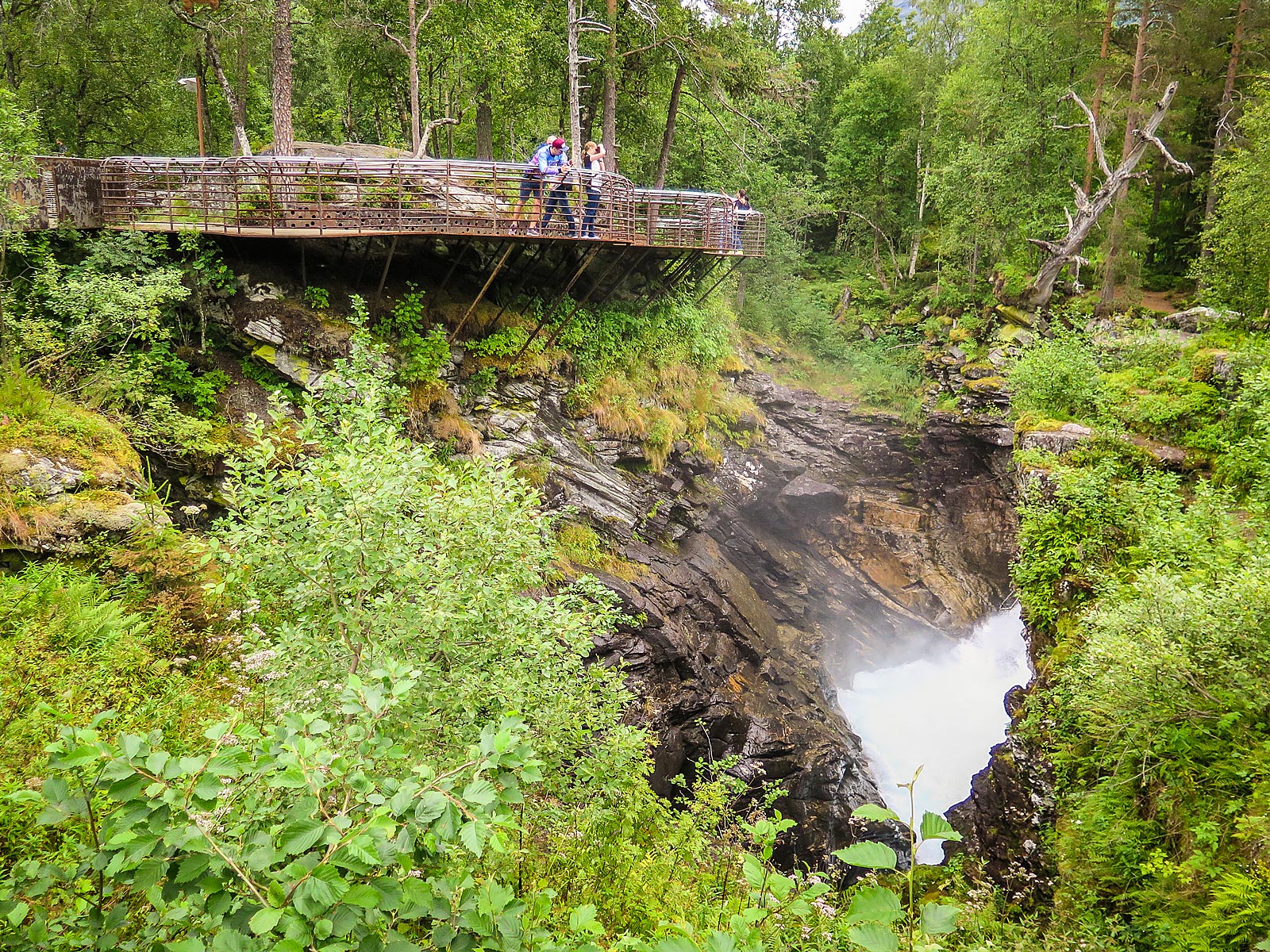
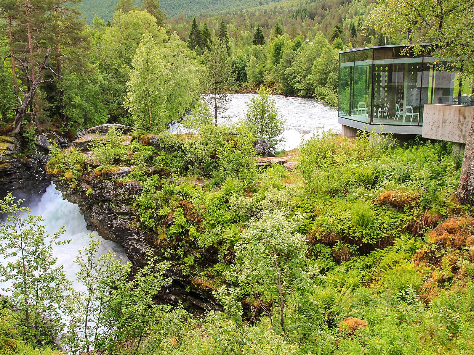
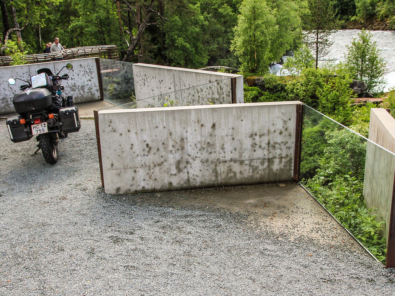
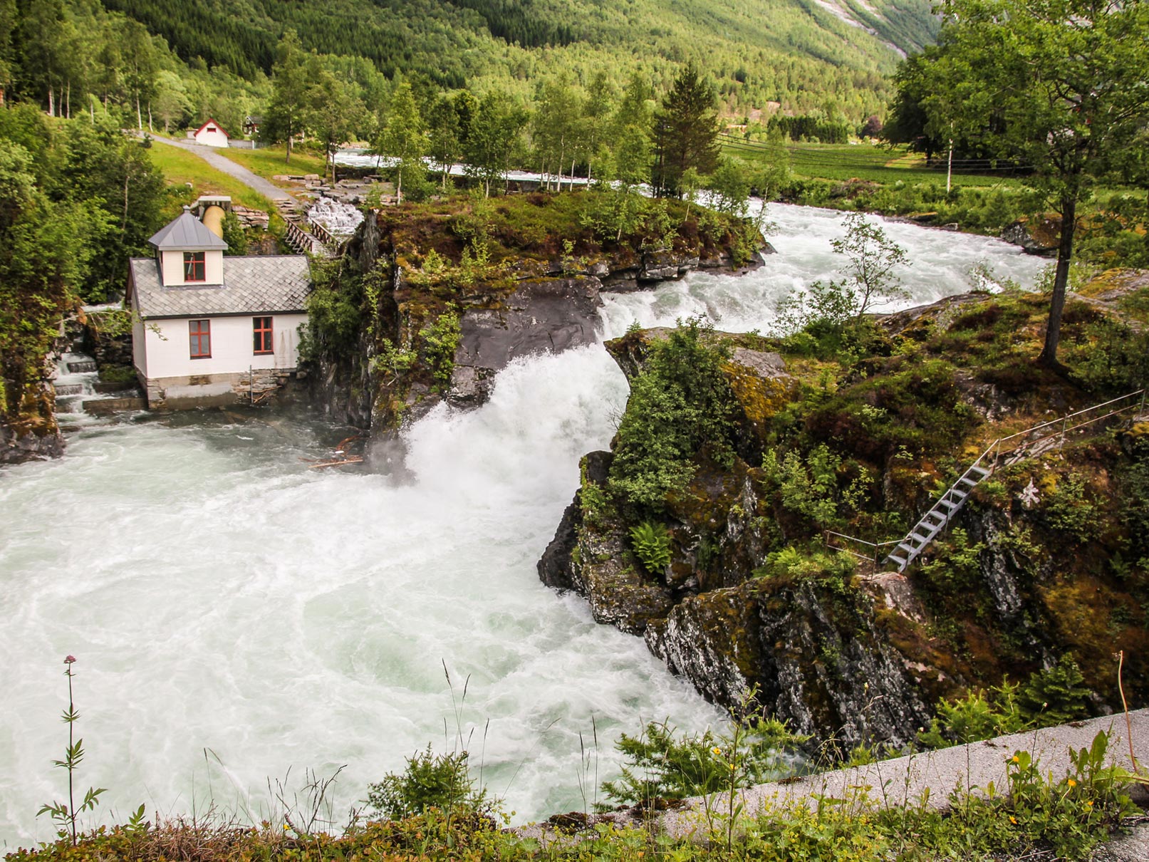
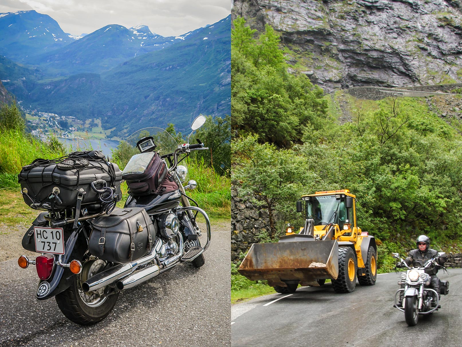
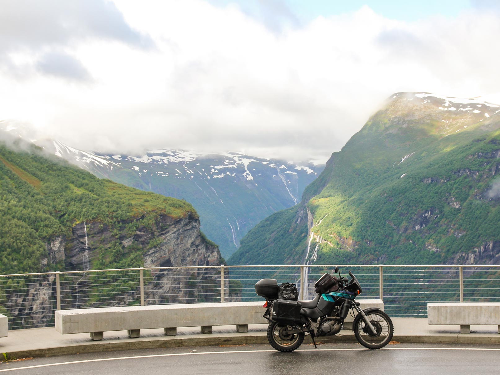
You can park the bike at the car park at the top and walk for about ten minutes to an iron viewing balcony which overlooks the road, and the Stigfossen waterfall, which falls 320 metres down the mountain side. Trollstigen has a steep incline of 9% and eleven hairpin bends up a steep mountain climb.
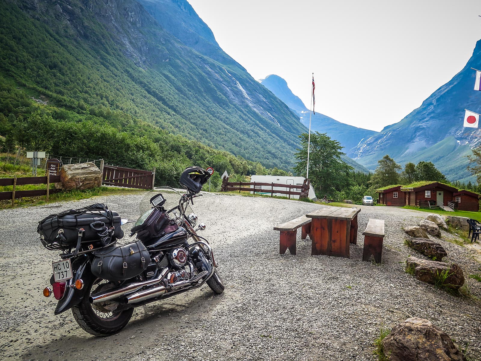
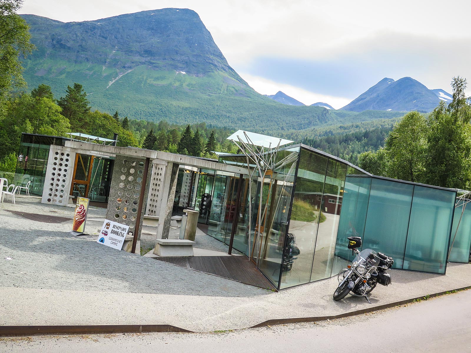
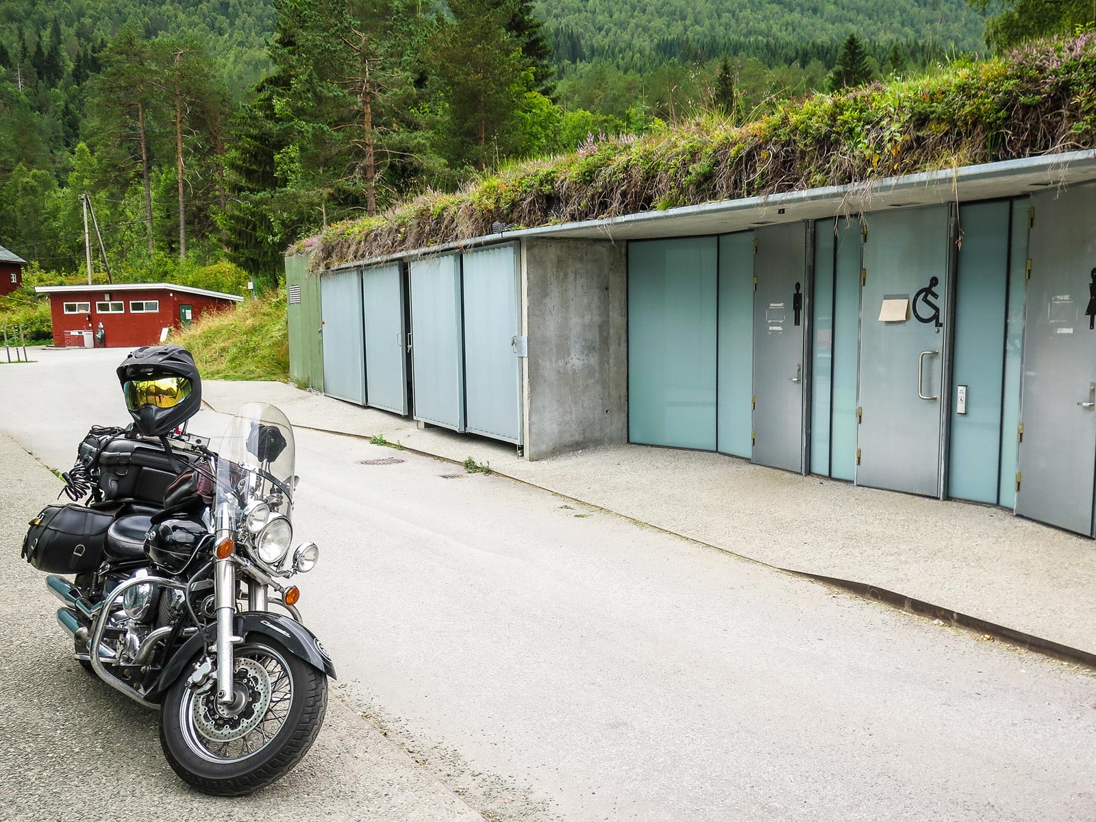
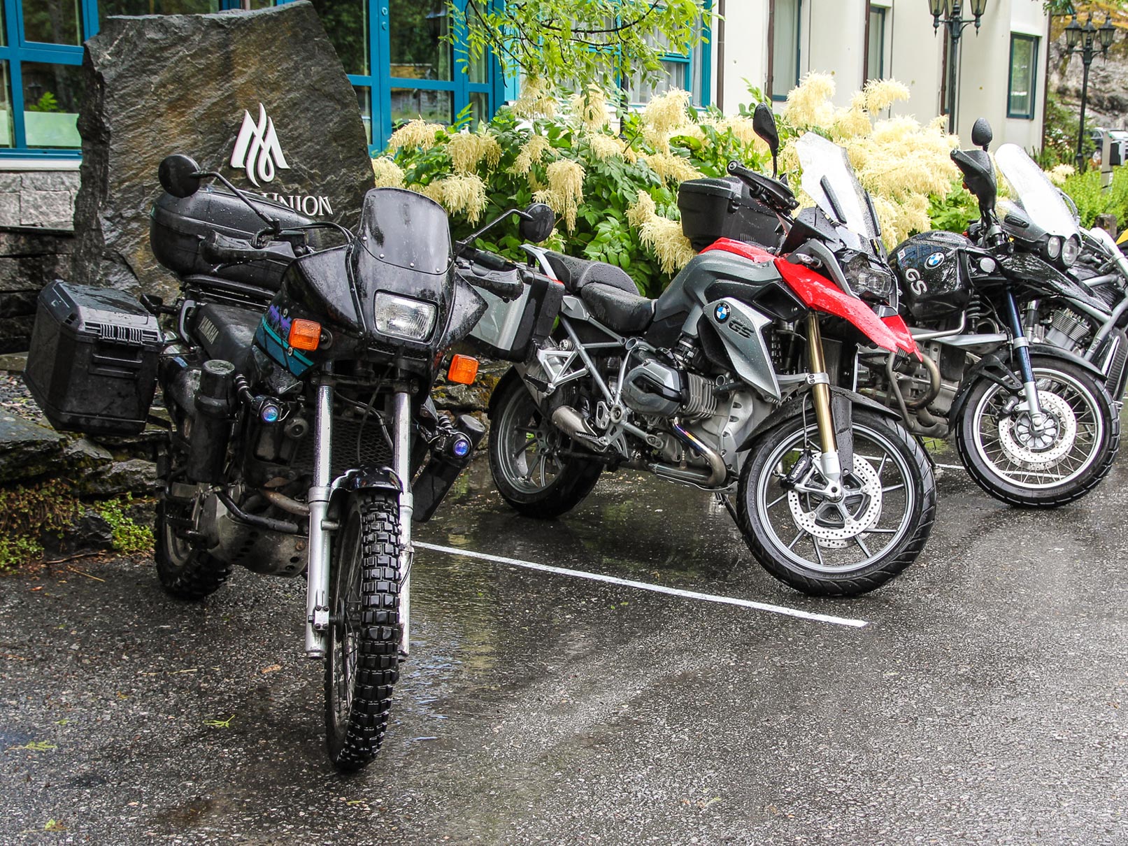
Trollstigen Gjestegård
We set up camp down in the valley near Trollstigen Gjestegård, in the shelter of the Trolltildane mountain range. As the sun set behind the massive stone wall, and the light disappeared from the valley, we could see distant headlights of cars and motorbikes, winding upwards and downwards along Trollstigen like some kind of Pagan ritual torchlight procession, celebrating the summer solstice.
After a day like that, with all the new impressions, we had a great night’s sleep, and got up early the next morning, so we could do Trollstigen a couple more times, before continuing south over the hills to Geirangerfjord.


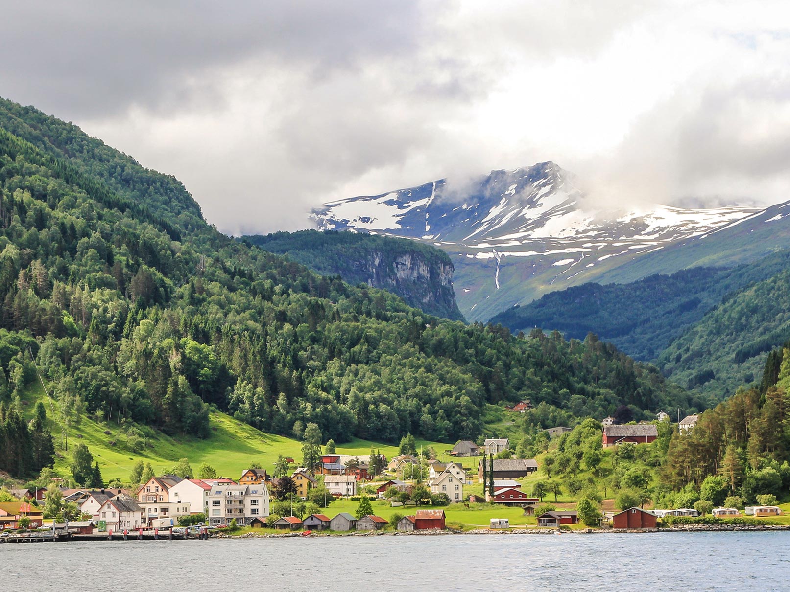
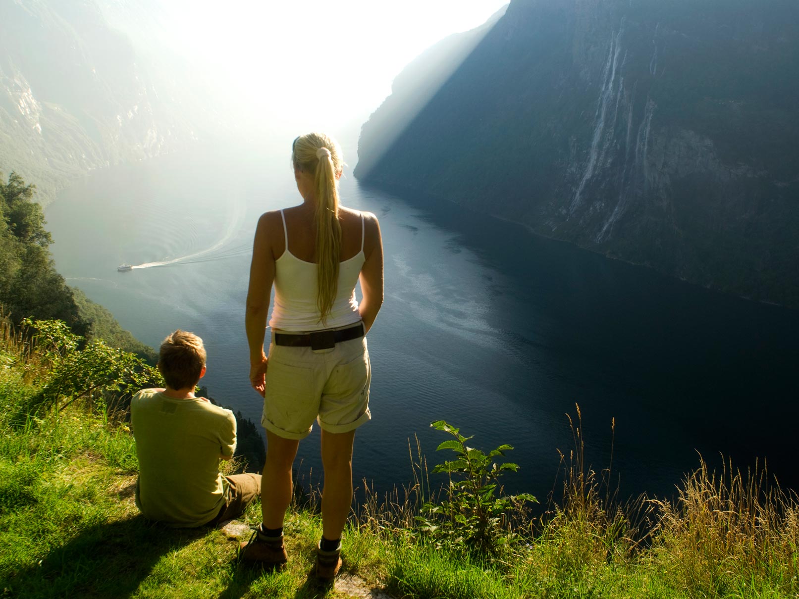
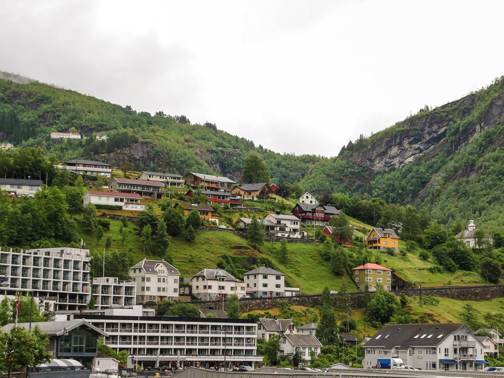
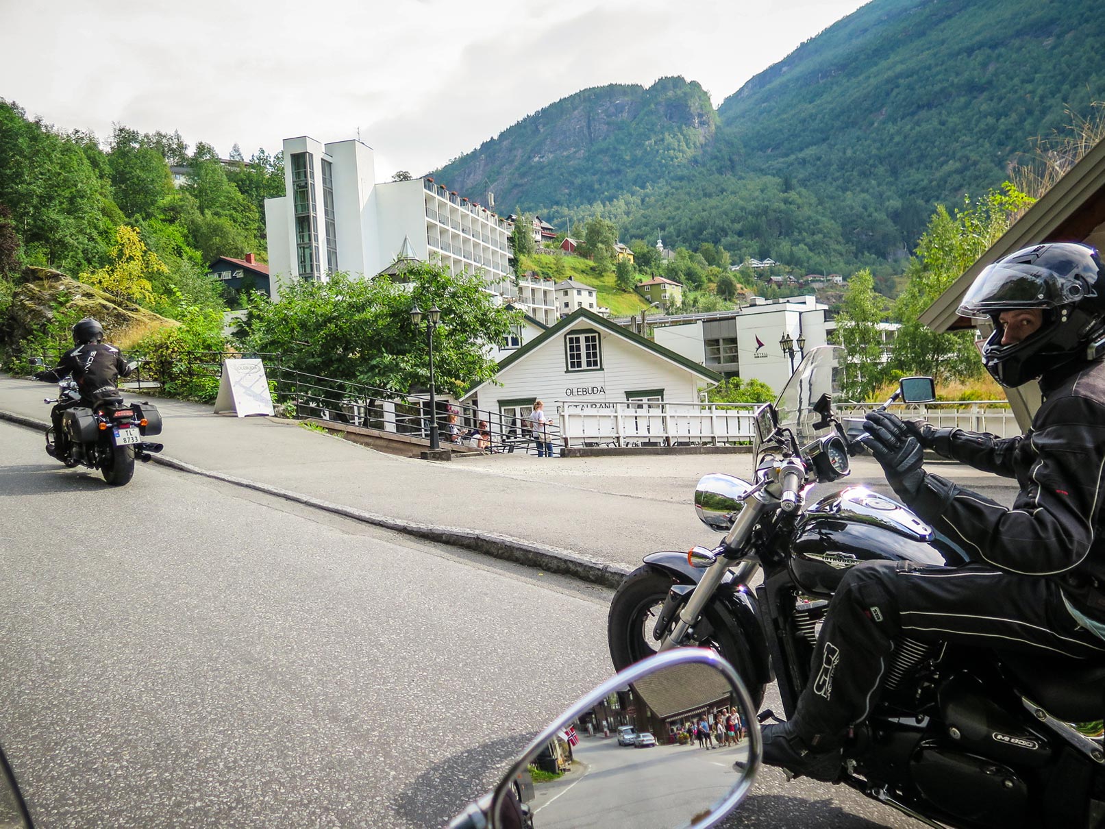
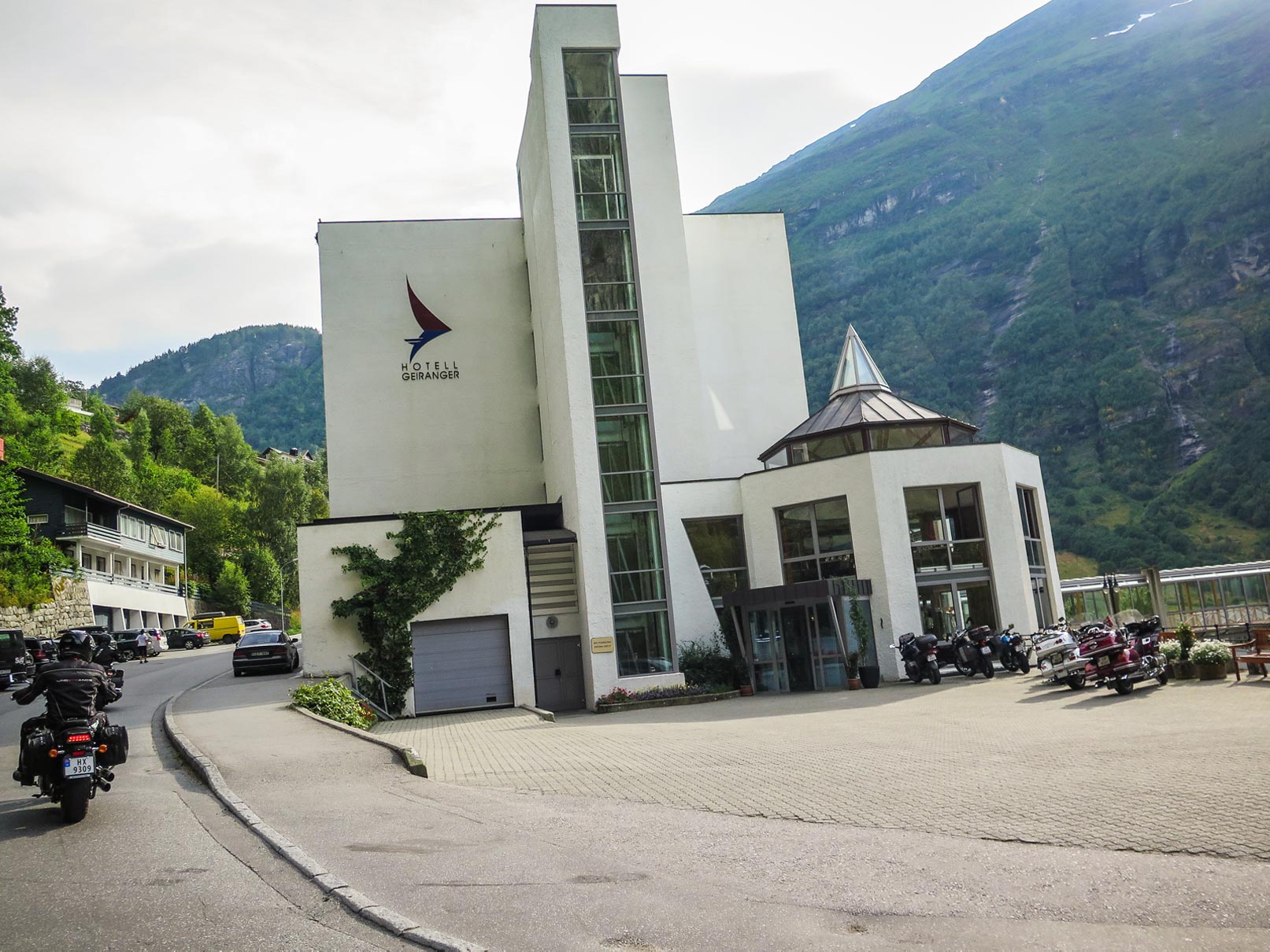
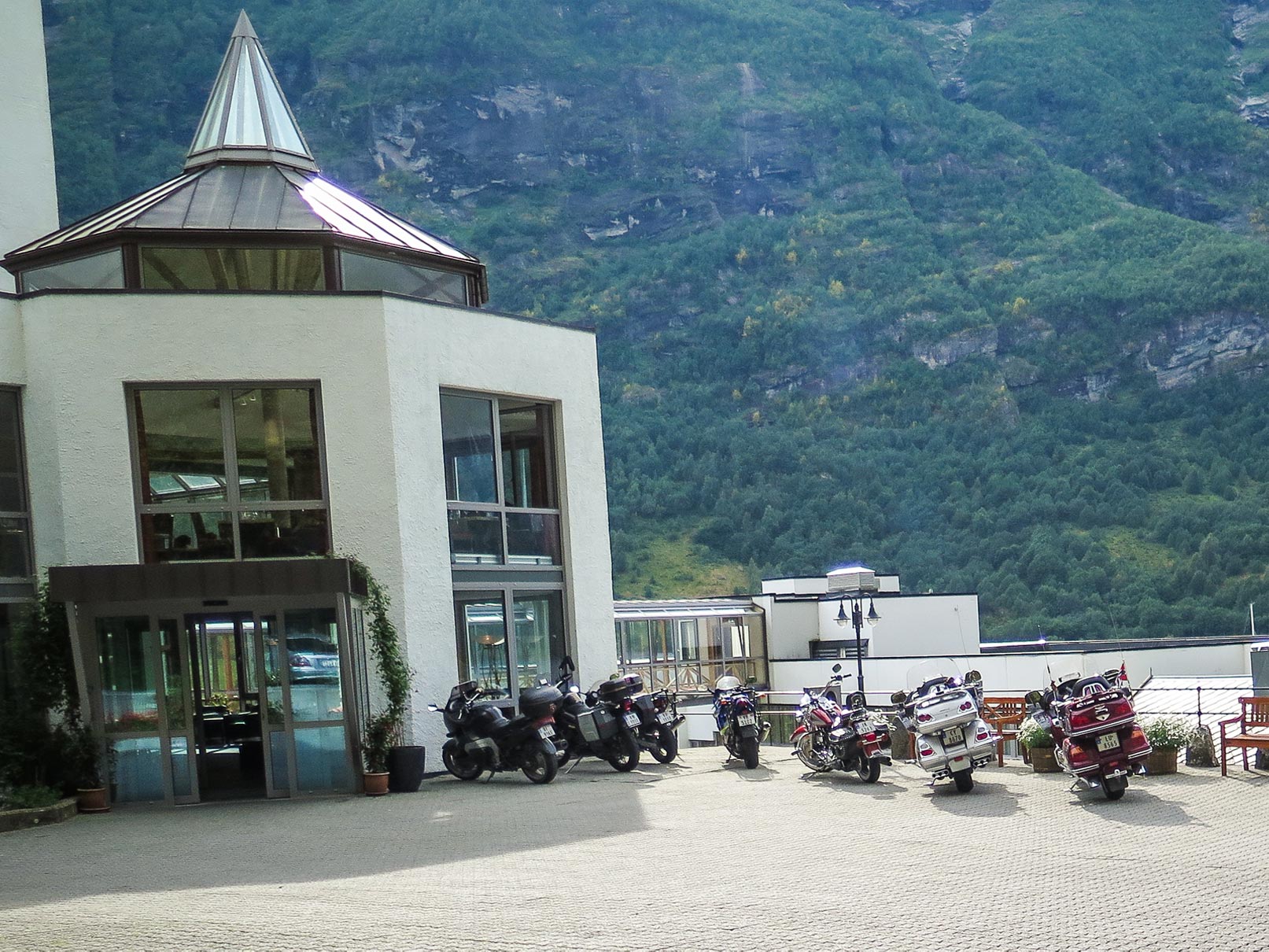
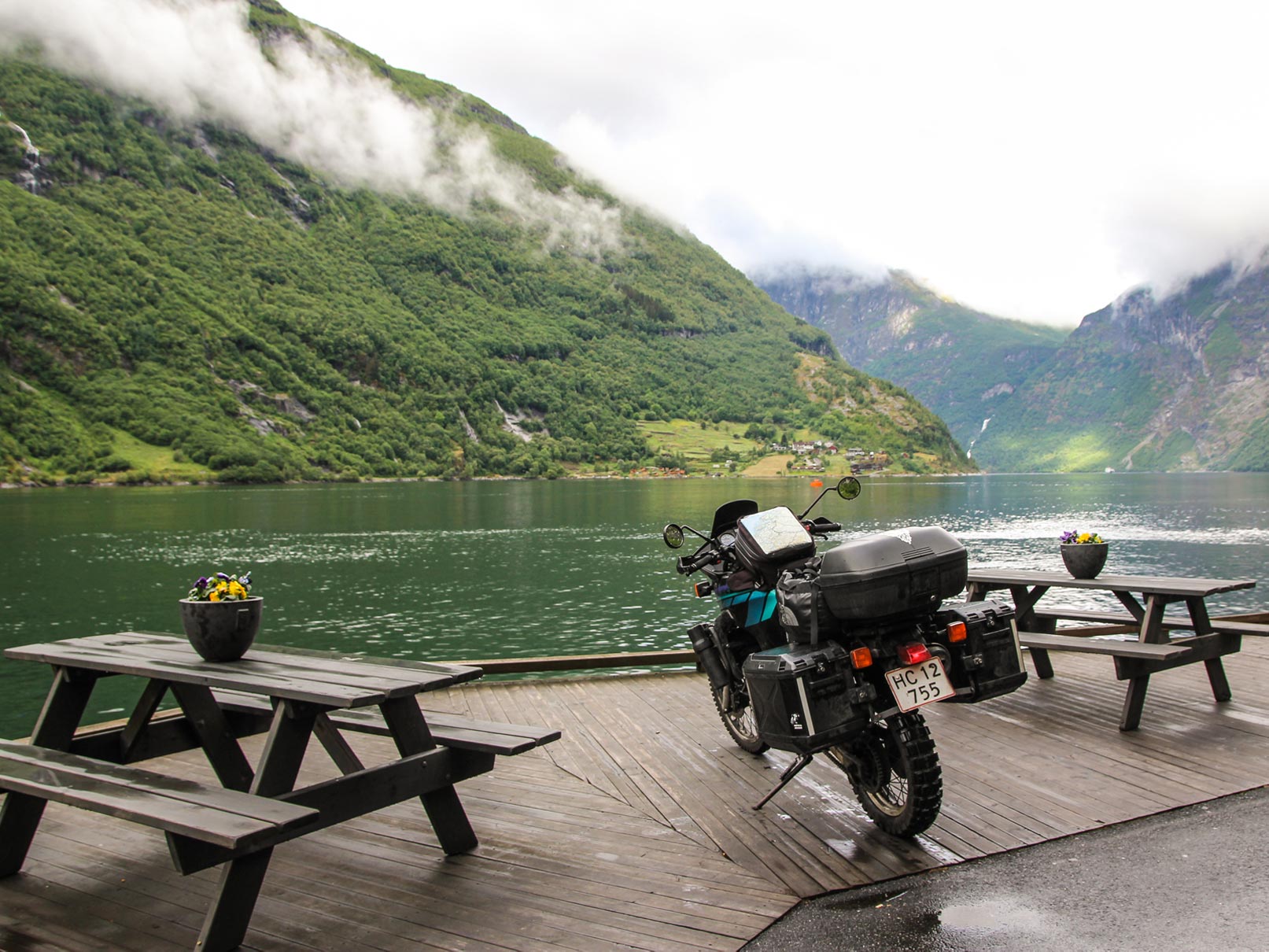
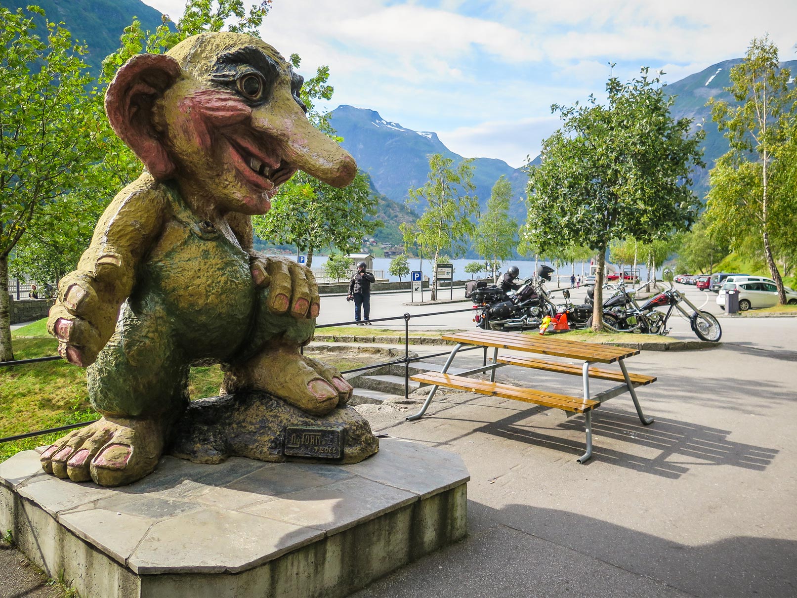
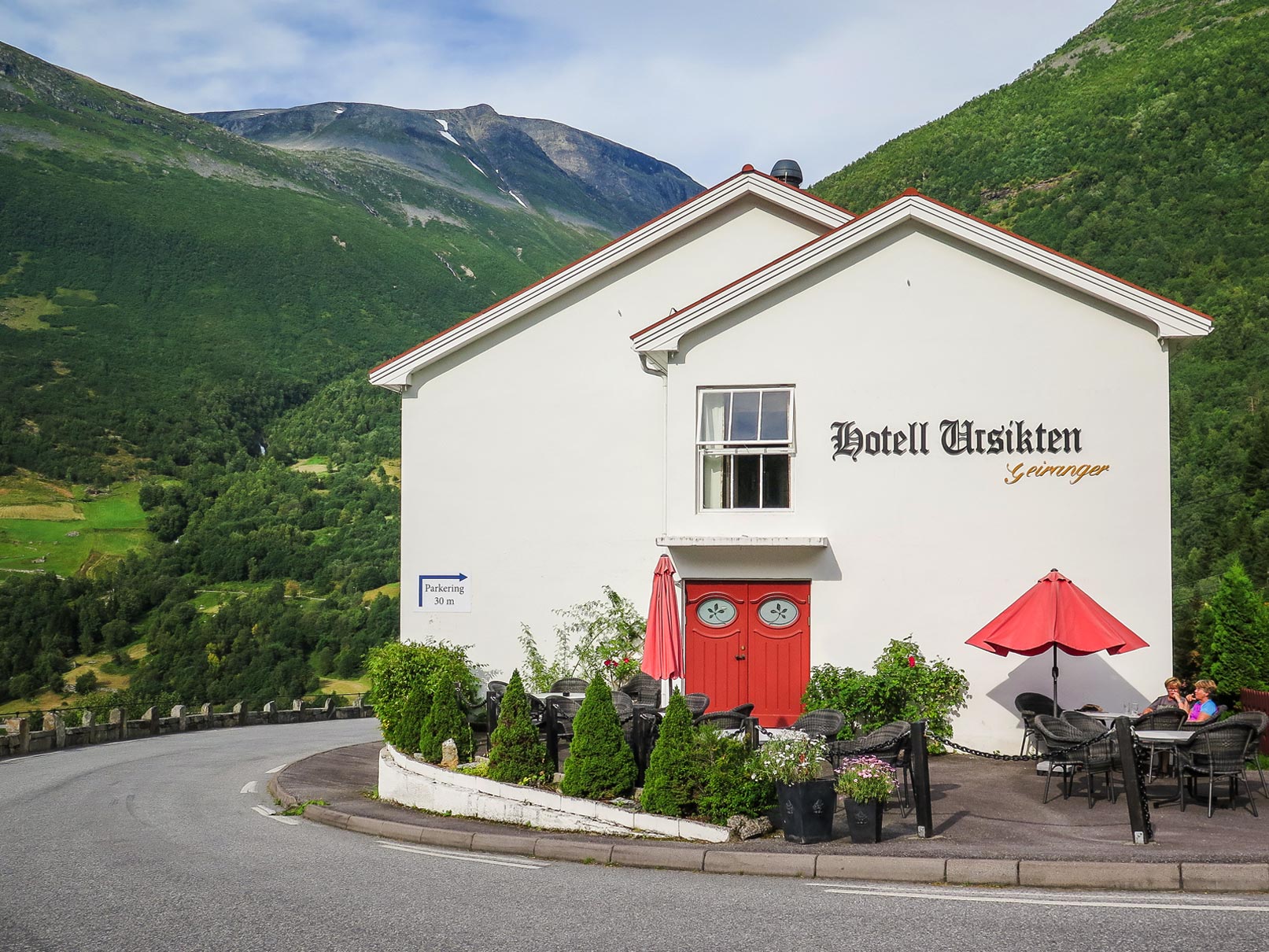
Geiranger - the jewel of Norway
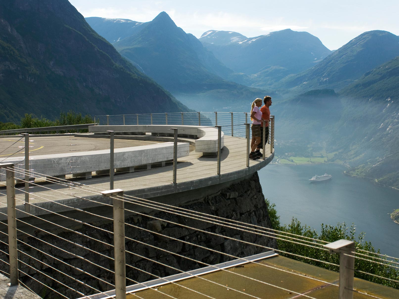
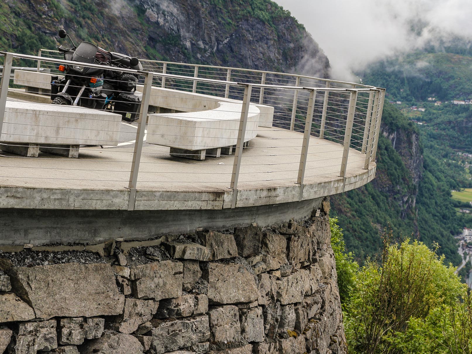
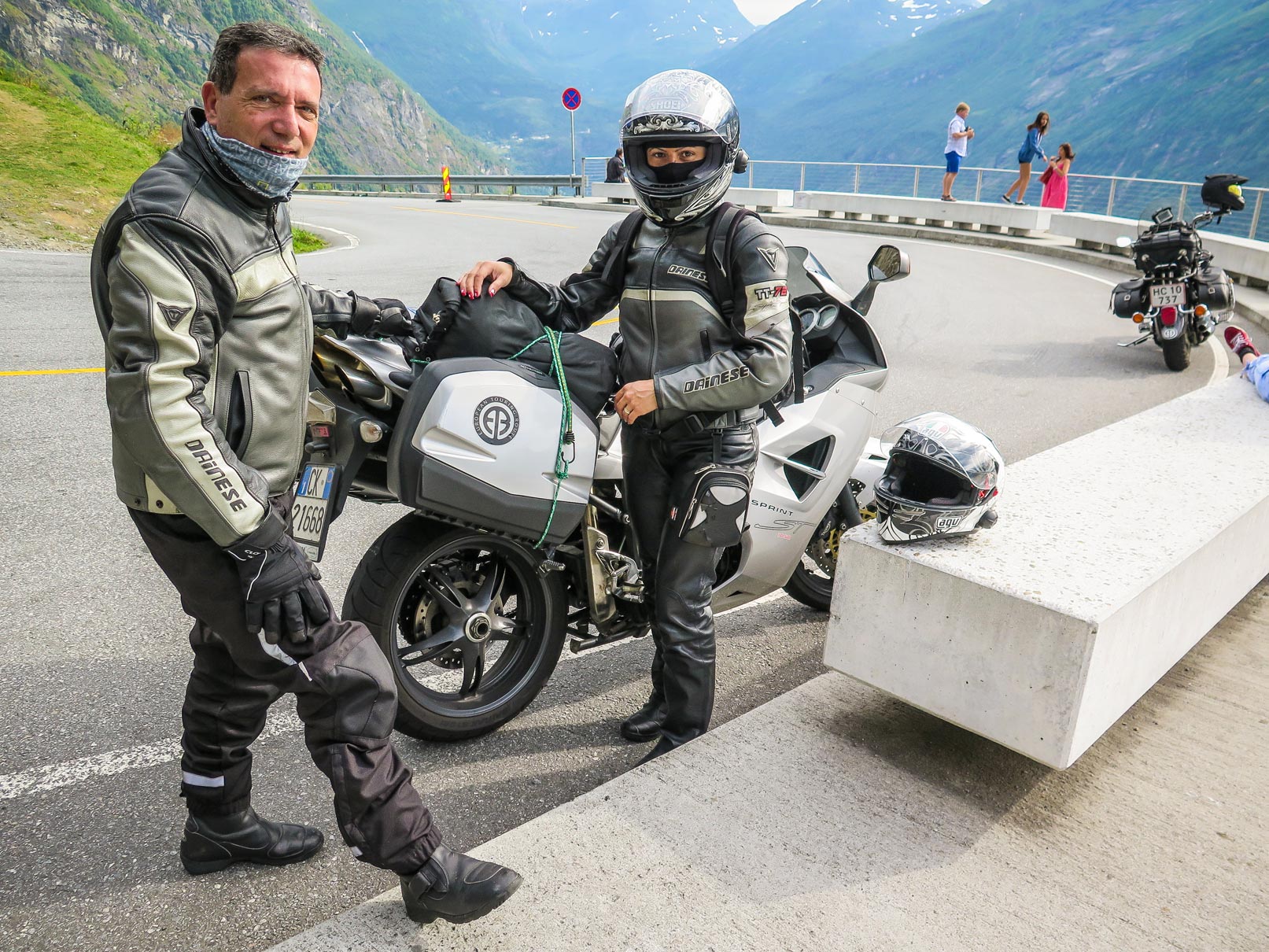
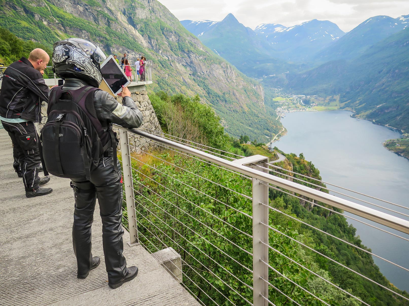
On the route, you will experience the breathtaking Geiranger, the jewel in the crown of all Norwegian fjords. Geiranger is a fairytale landscape with its majestic, snow-covered mountain tops, wild and beautiful waterfalls, lush green vegetation, and the deep, blue fjord. On the way in and out of the fjord, you'll drive on fantastic mountain roads, that twist and turn through one hairpin bend after another, to Dalsnibba, Flydalsjuvet and Ørnesvingen. You have to stop at Ørnesvingen viewpoint on your way to or from Geiranger. From here, you can experience a fantastic panoramic view, of one of most beautiful tourist destinations in the world.
Geirangerfjord is inscribed on the prestigious UNESCO World Heritage List due to the fjord landscape and the unique climatic and geological conditions in the area, which make it one of the most beautiful and distinctive fjord areas on the planet.