-
44°23'22.5"N 7°32'52.1"E
-
44.389593, 7.547800
Distance
Highlights


Alpes-Maritimes Natural Park
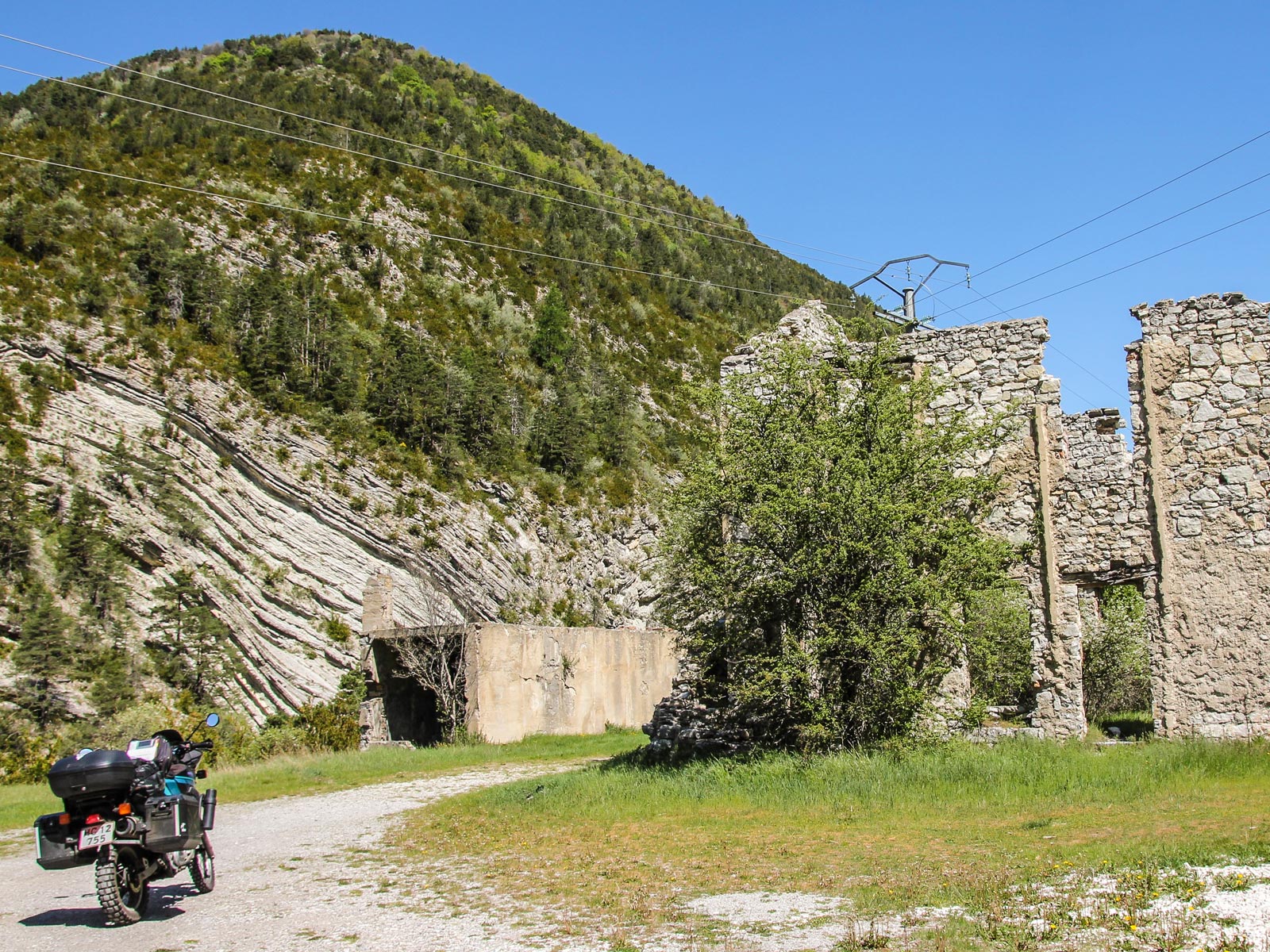
This morning starts with a different kind of ride - 9km in a straight line - as you ride directly southeast out of Cuneo towards Borgo San Dalmazzo. From there, stay on the SS21 and let it lead you back out into the foothills again, around the outskirts of Parco Naturale Alpi Marittime past Monte Argentera, which at 3,297m is the highest peak in the Maritime Alps, with dramatic views from the summit if you have the time and energy to climb it!
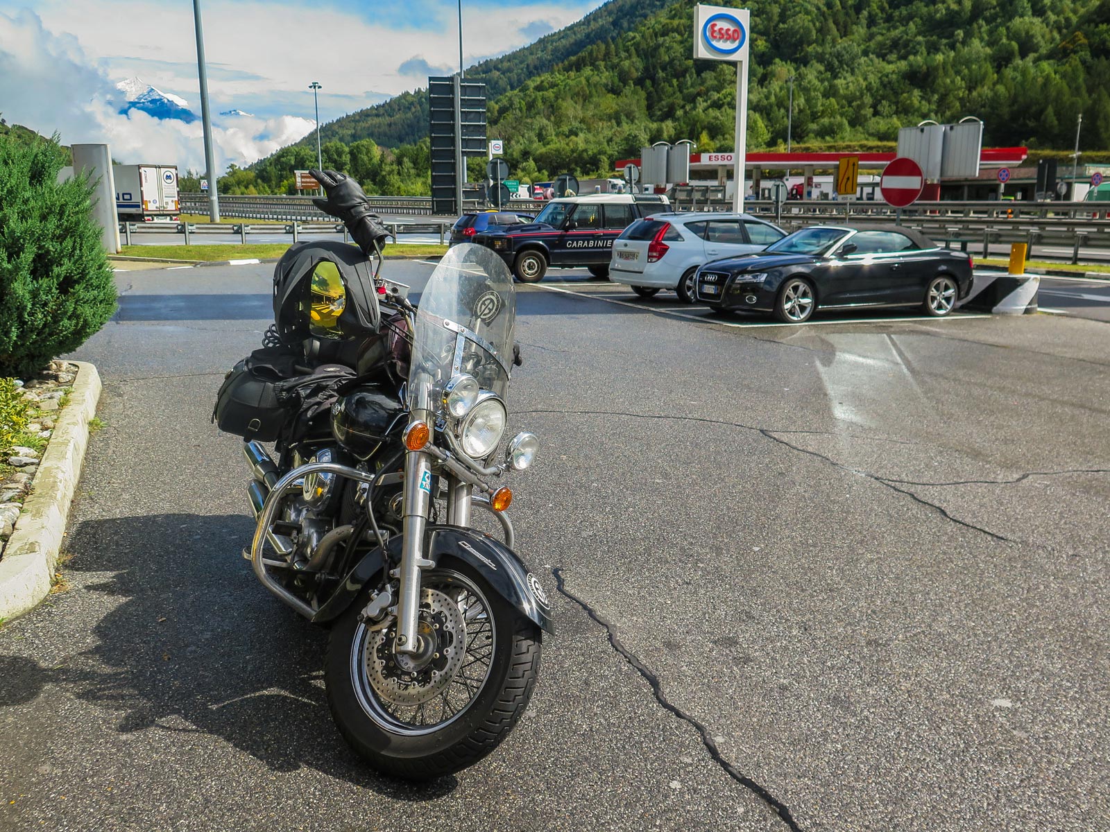
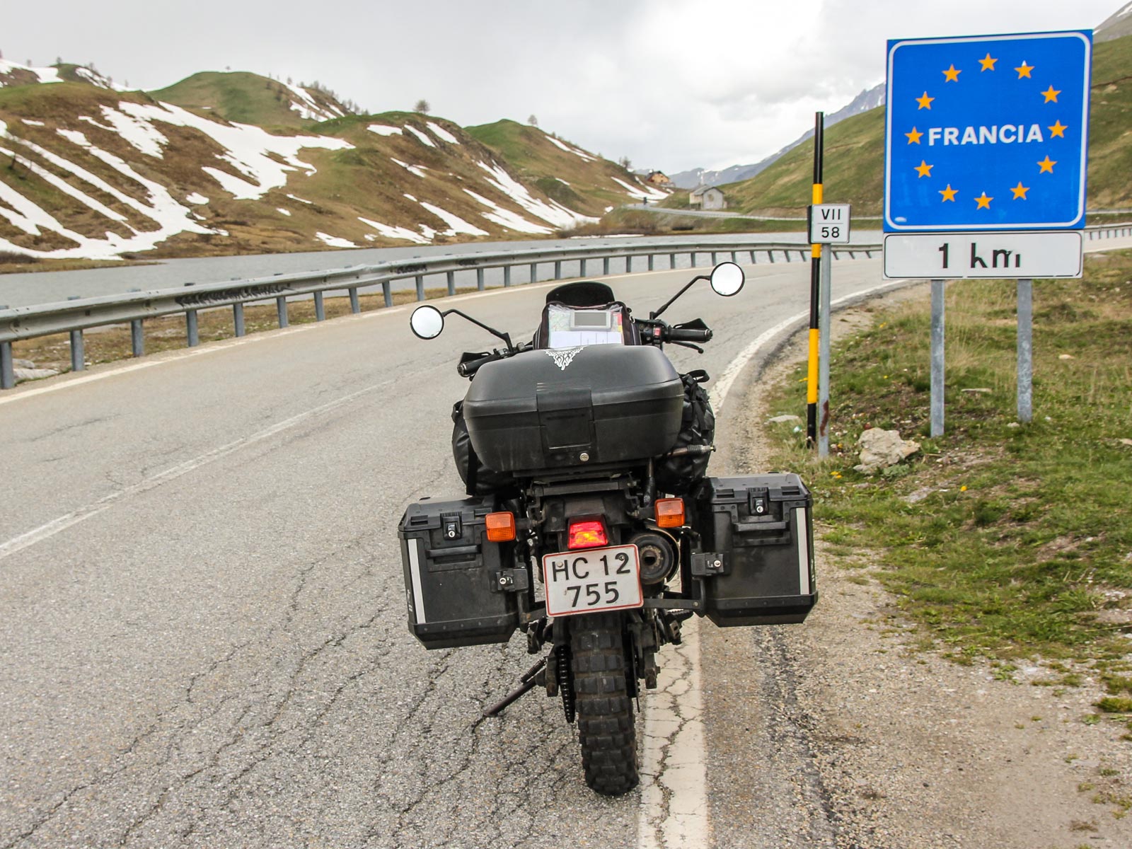
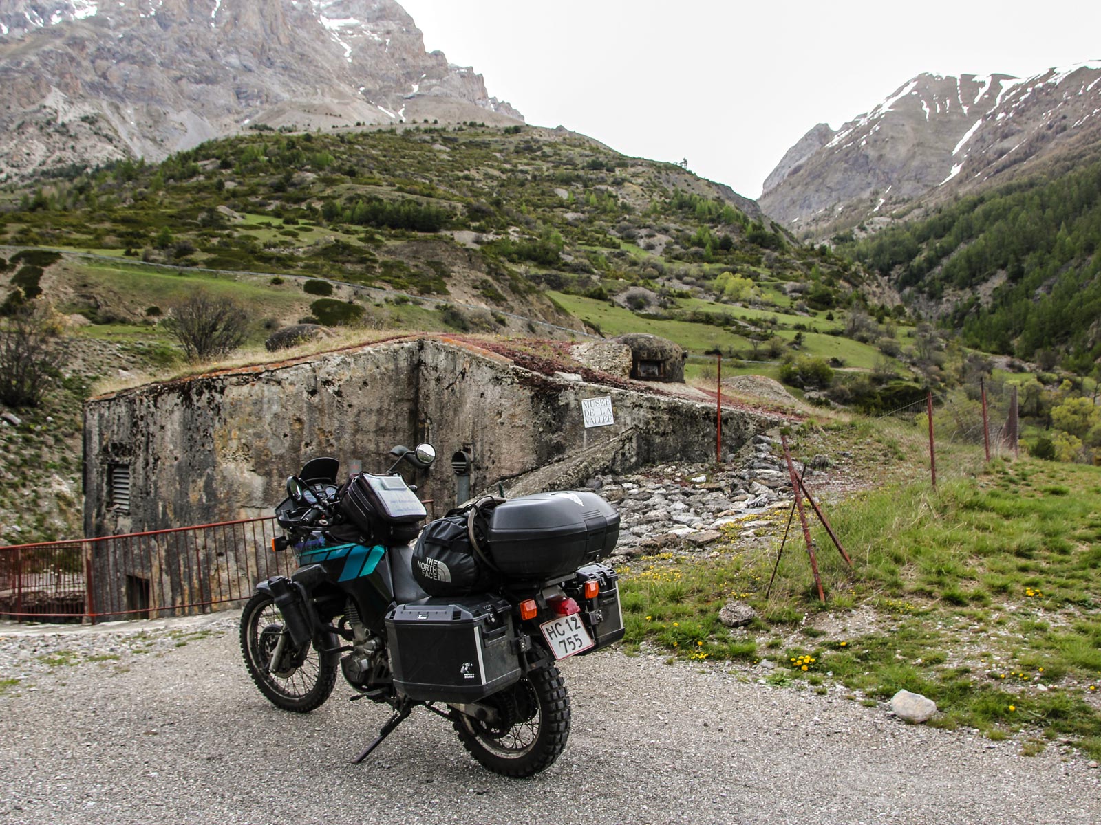
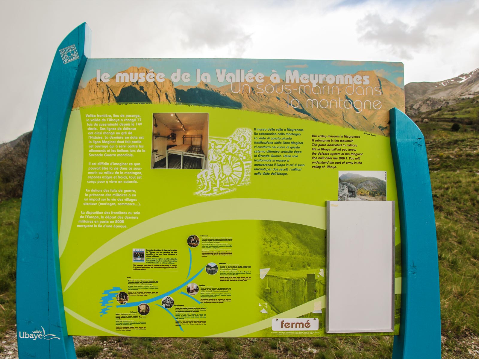
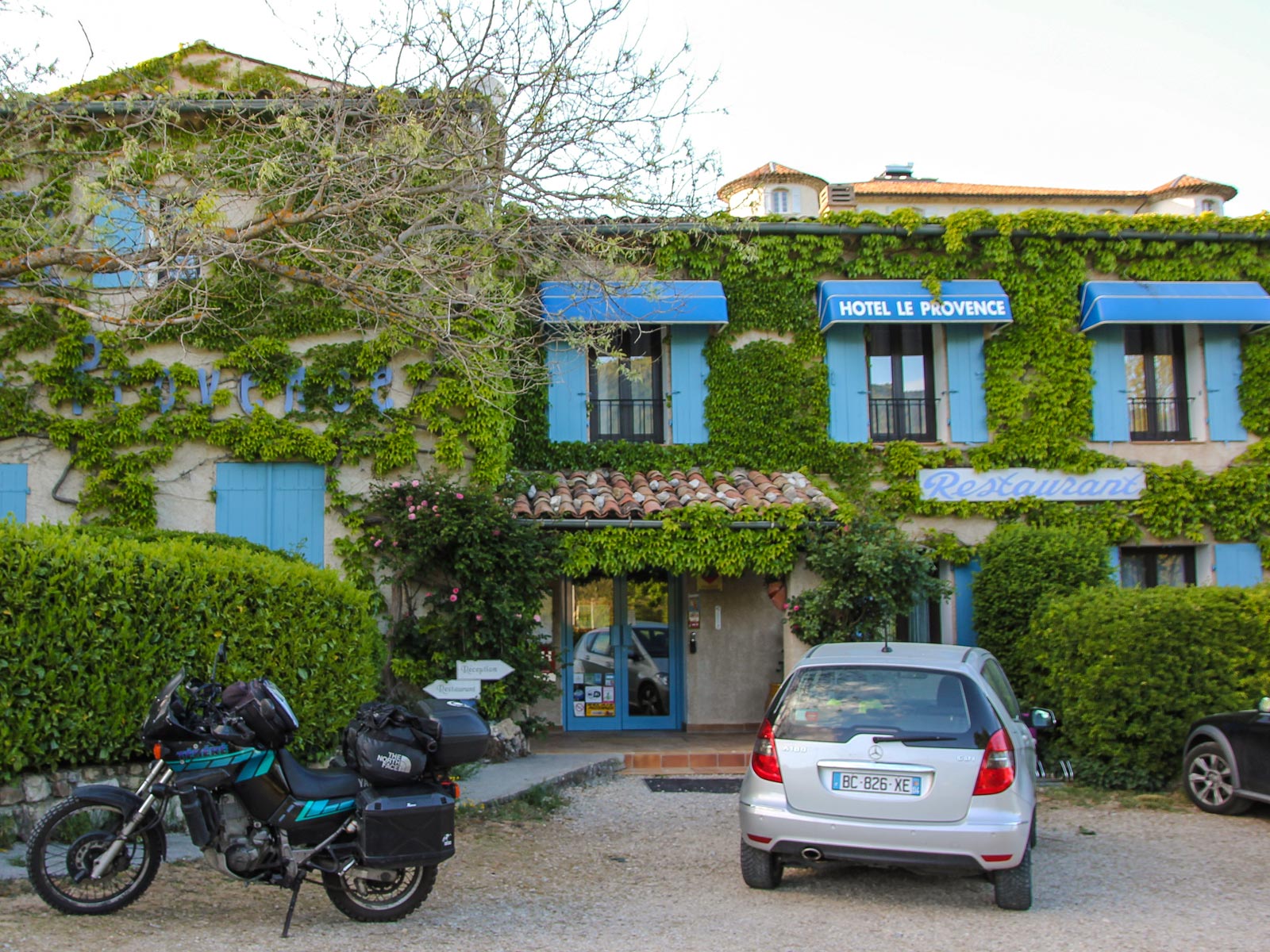
Crossing over at Col de la Lombarde
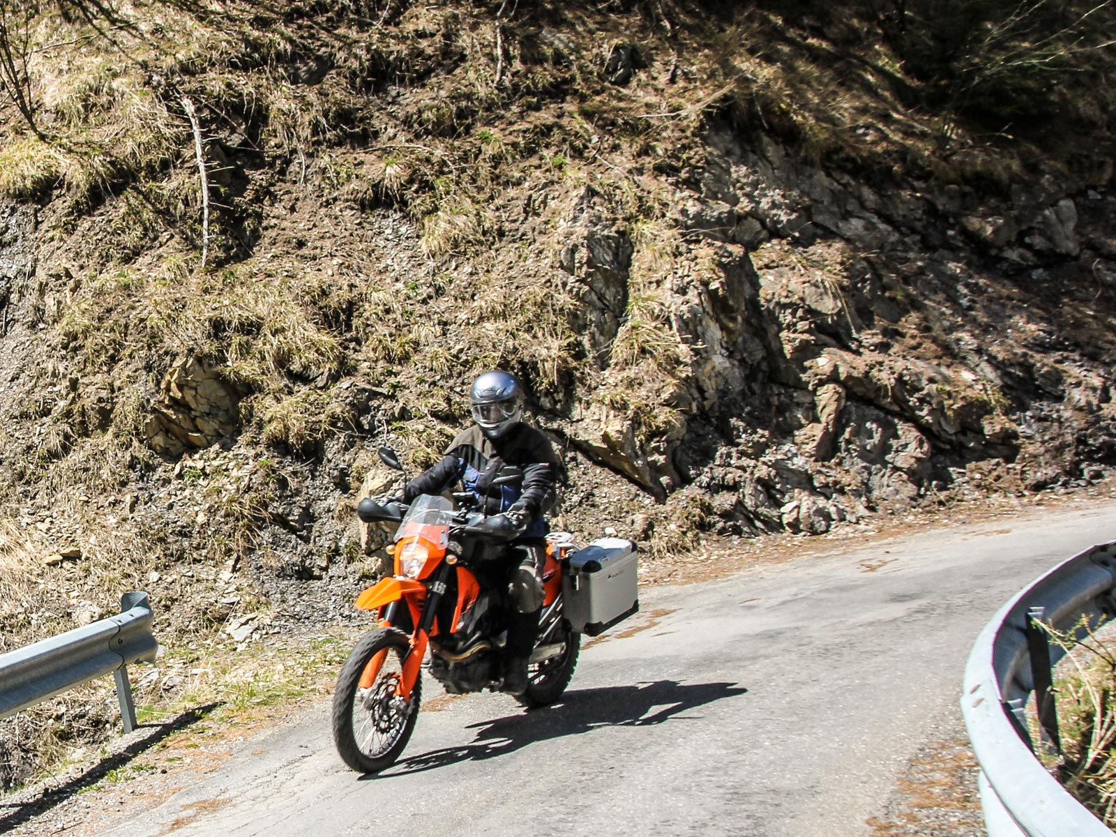
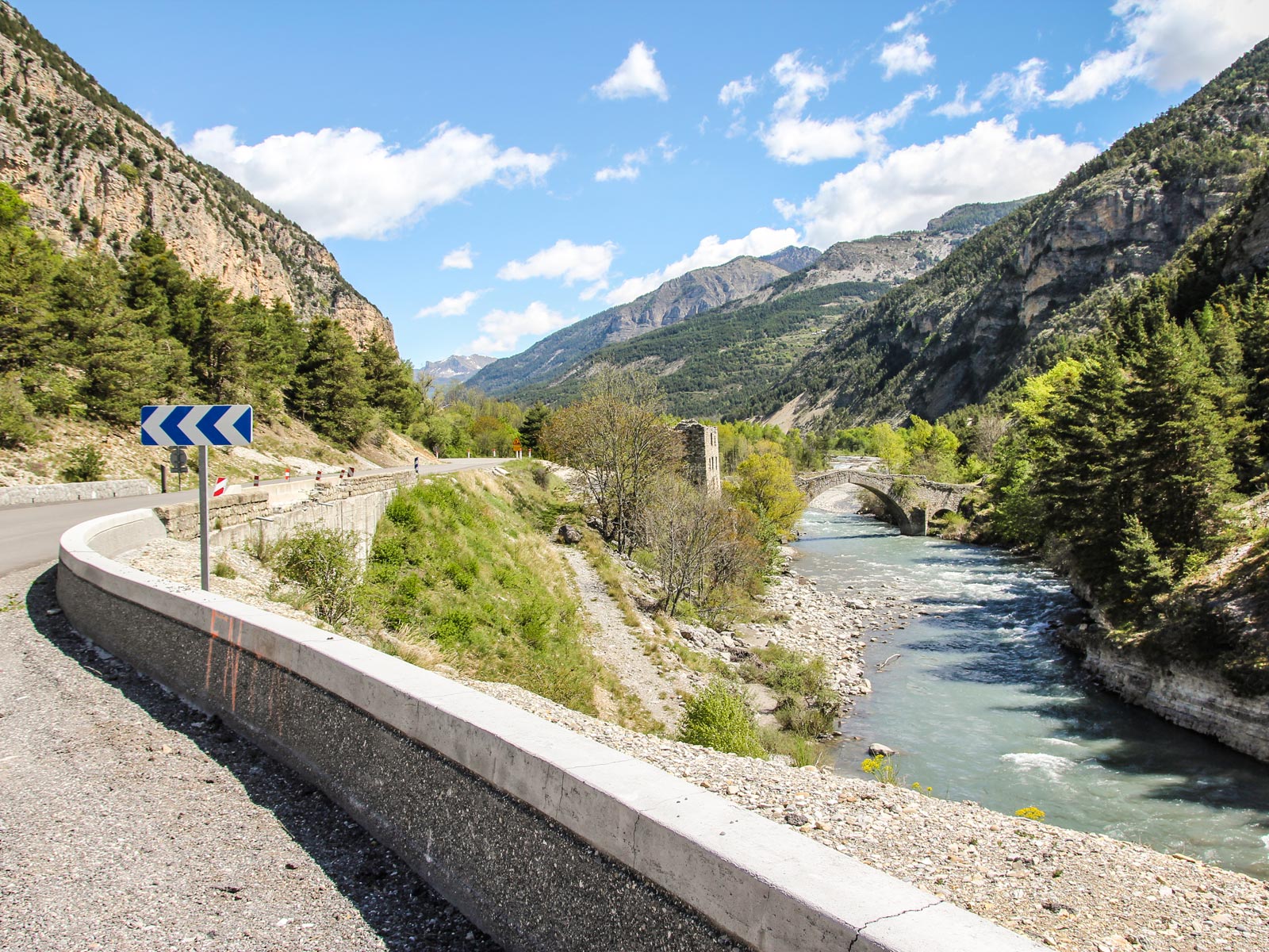
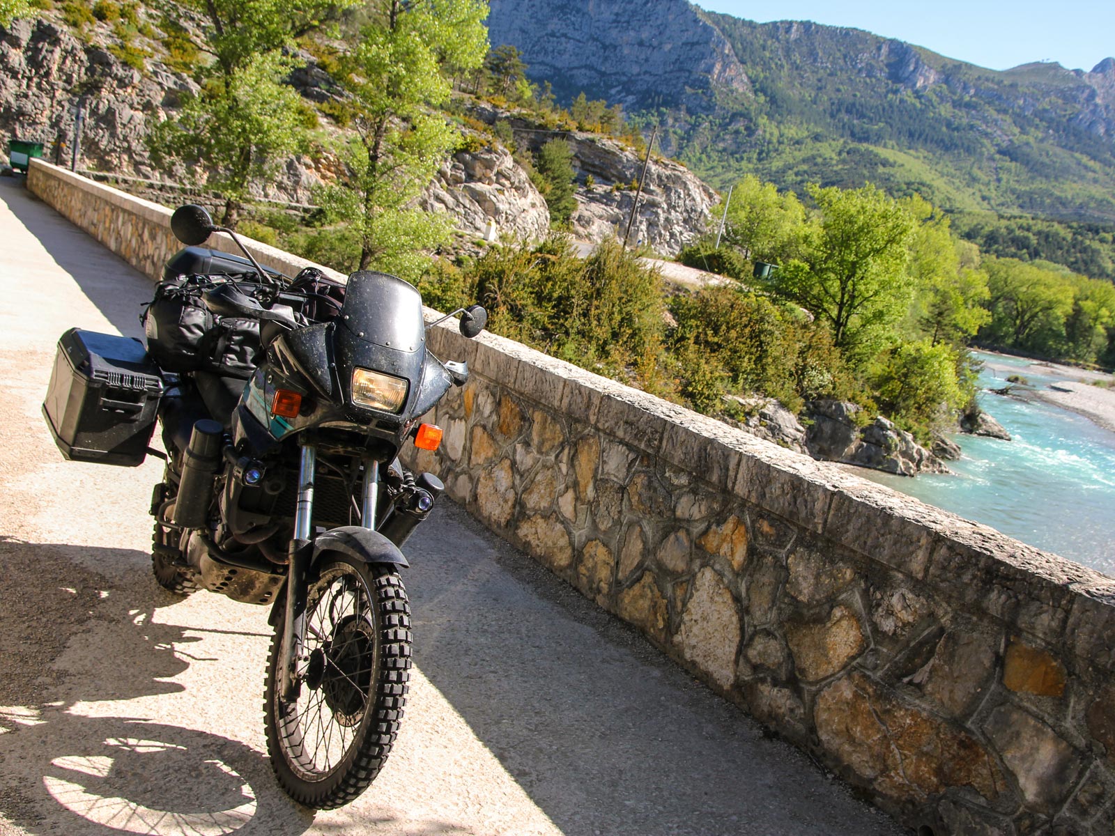
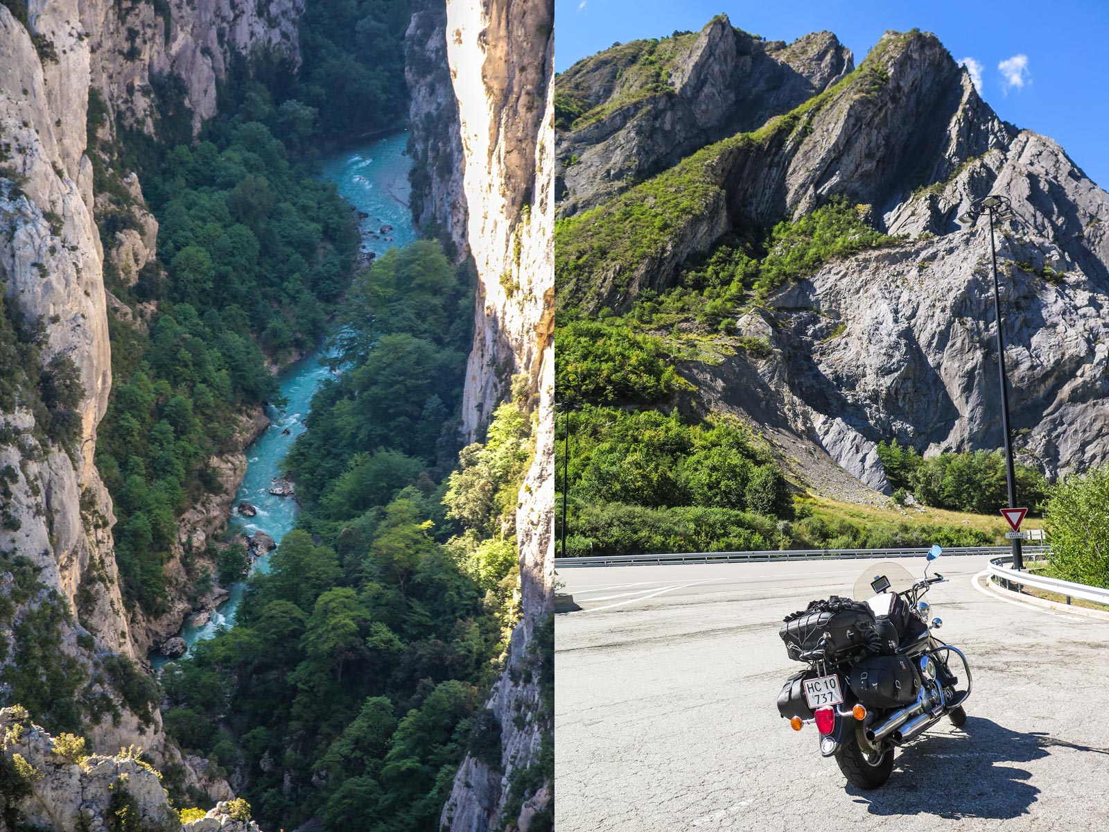
Leaving Italy behind for now, but not for the last time, you cross over into France at Col de la Lombarde, along a scenic mountain road on the French-Italian border connecting Vinadio to Isola, and you can look forward to some great riding through the Alpes-Maritimes department in southeastern France. When you reach Saint-Sauveur-sur-Tinée, head west along the D30 until you reach Beuil, where you have to make a couple of decisions: Gorges du Cians? Or Gorges de Daluis? Or both?


Photos
-
Dave O'Byrne
-
European Touring Route AS
Partners
Highlights


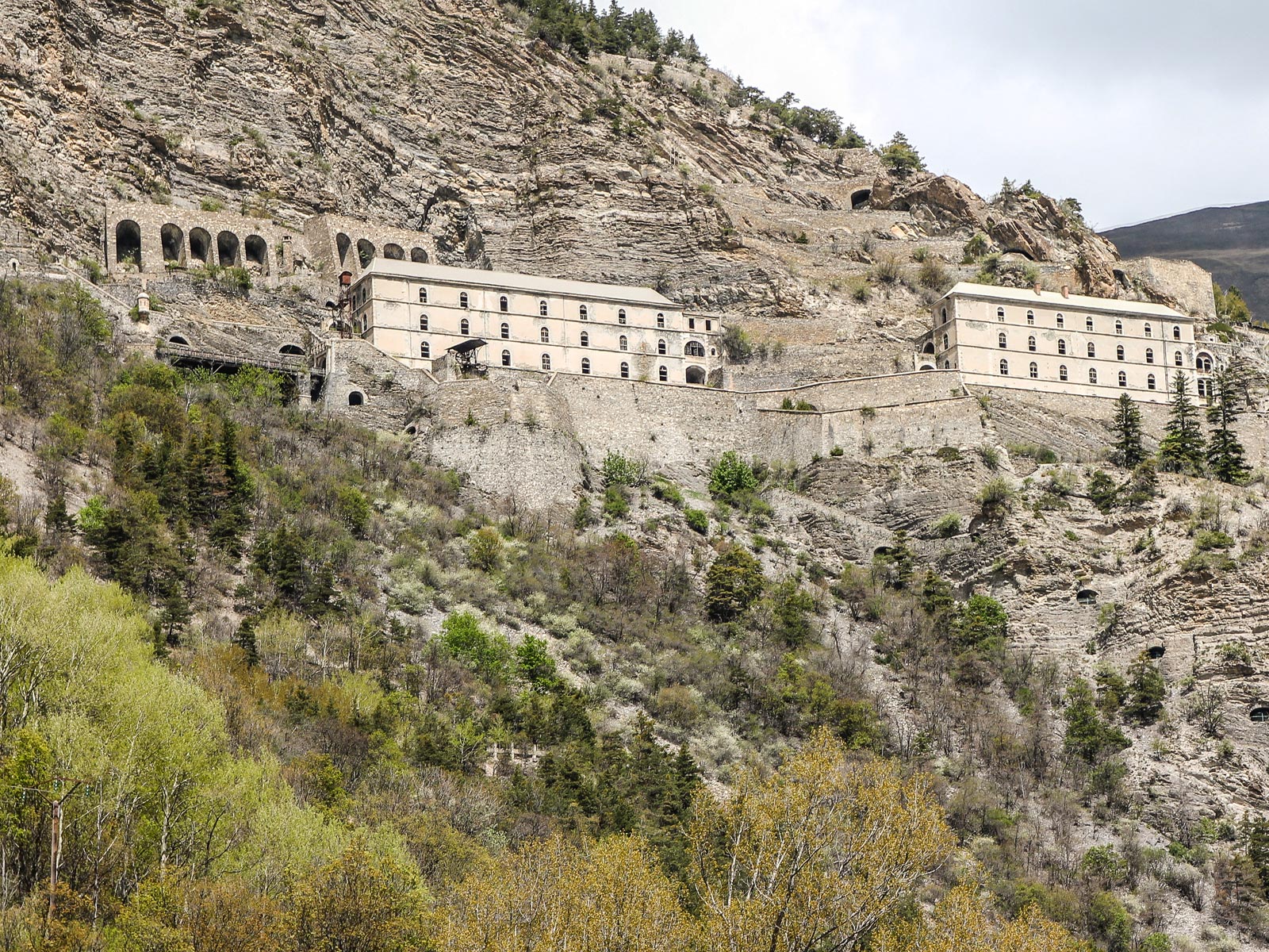
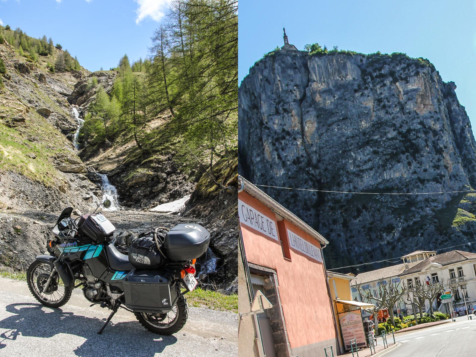
La Citadelle d'Entrevaux
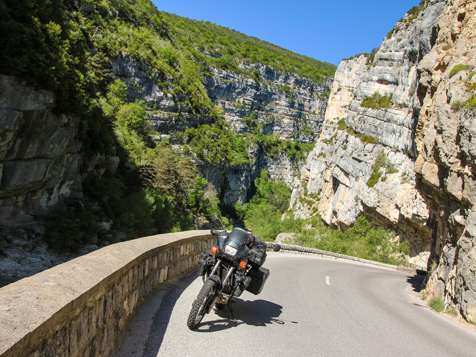
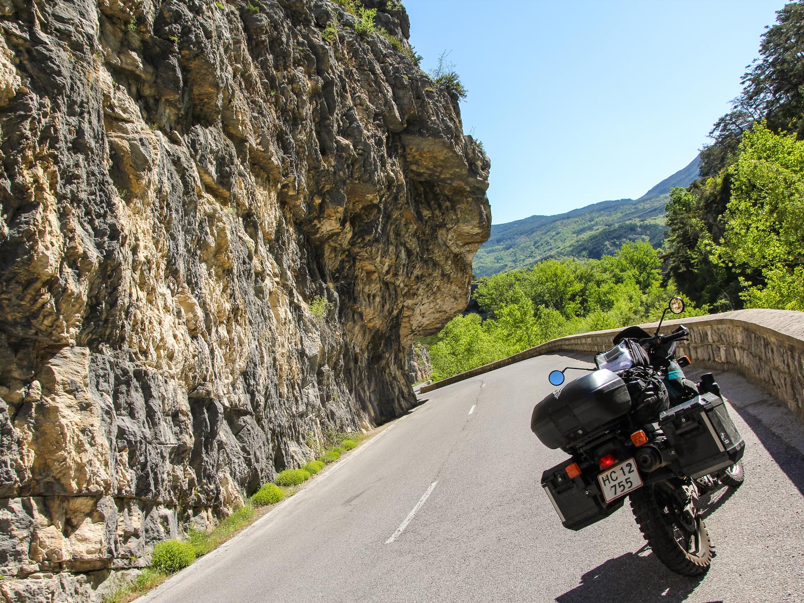
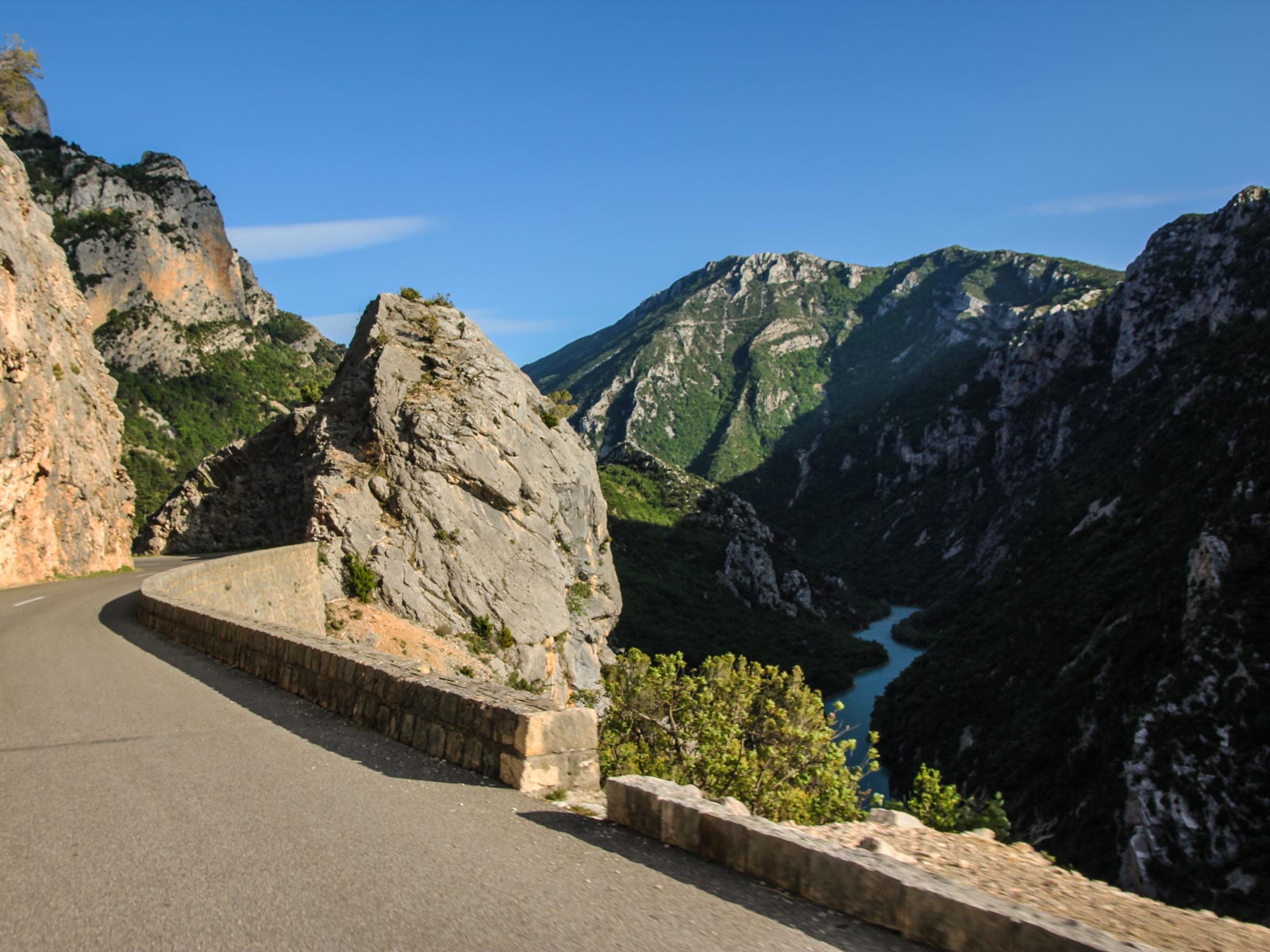
As you ride the D2202 past Pont sur le Var along Gorges de Dalius you cross over between Alpes-Maritimes and Alpes-de-haute-Provence and the road becomes the D902. Head southeast along the D4202 to Entreveaux, where you're in for an experience! The medieval walled town, La Citadelle sits perched on a rocky outcrop in an angle of the river, with a commanding view over the approaching roads.
Following incursions of Saracens and the razing of the old town of Glandèves, the more defensible site of medieval Entrevaux was founded in the 11th century. In 1658 a bridge guarded by towers and a portcullis was constructed over the Var river, now the modern Porte Royale. In 1690 the military architect Vauban drew up plans to further fortify the town, due to its strategic position guarding the valley of the Var and on the border with Savoy. Although not completed in full, the citadel perched high above the town was strengthened, particularly on the more accessible side closest to the hilltops, and a protected walkway constructed up the side of the mountain from the town. Two small forts were provided to protect the town, and its two main gates were strengthened - now known as the Porte d'Italie and the Porte de France.
Entrevaux was briefly besieged in June 1707 by the royalist Savoyards under Chevalier Blaignac, but resisted and was relieved by the French forces. The citadel was last used during World War I as a prison for German officers. Outside the city walls, a working 19th-century oil mill is still in production and can be visited. Behind The Citadel, you'll find a motorcycle museum with a working collection of early, mostly European models.