-
66°49'01.7"N 13°56'32.0"E
-
66.817133, 13.942213
Distance
Highlights


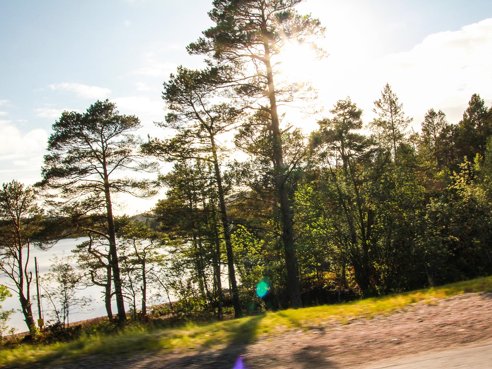
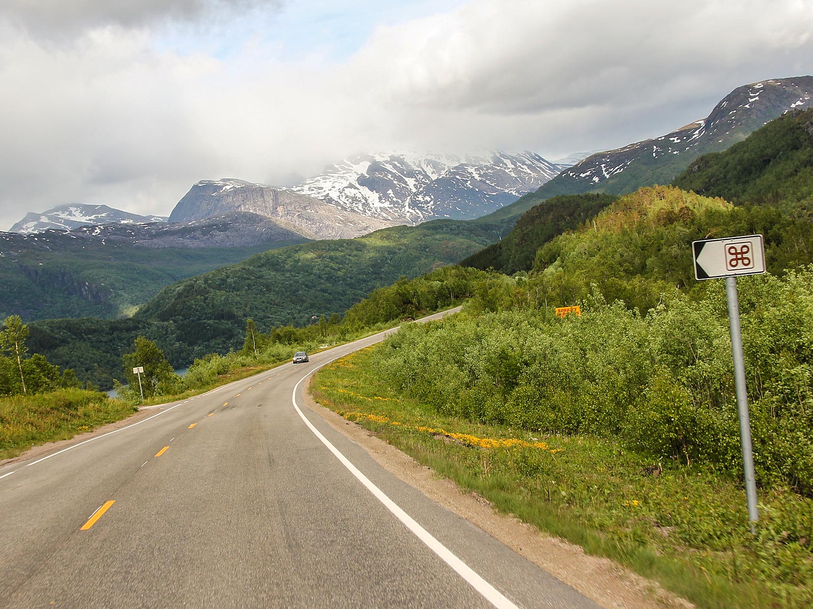
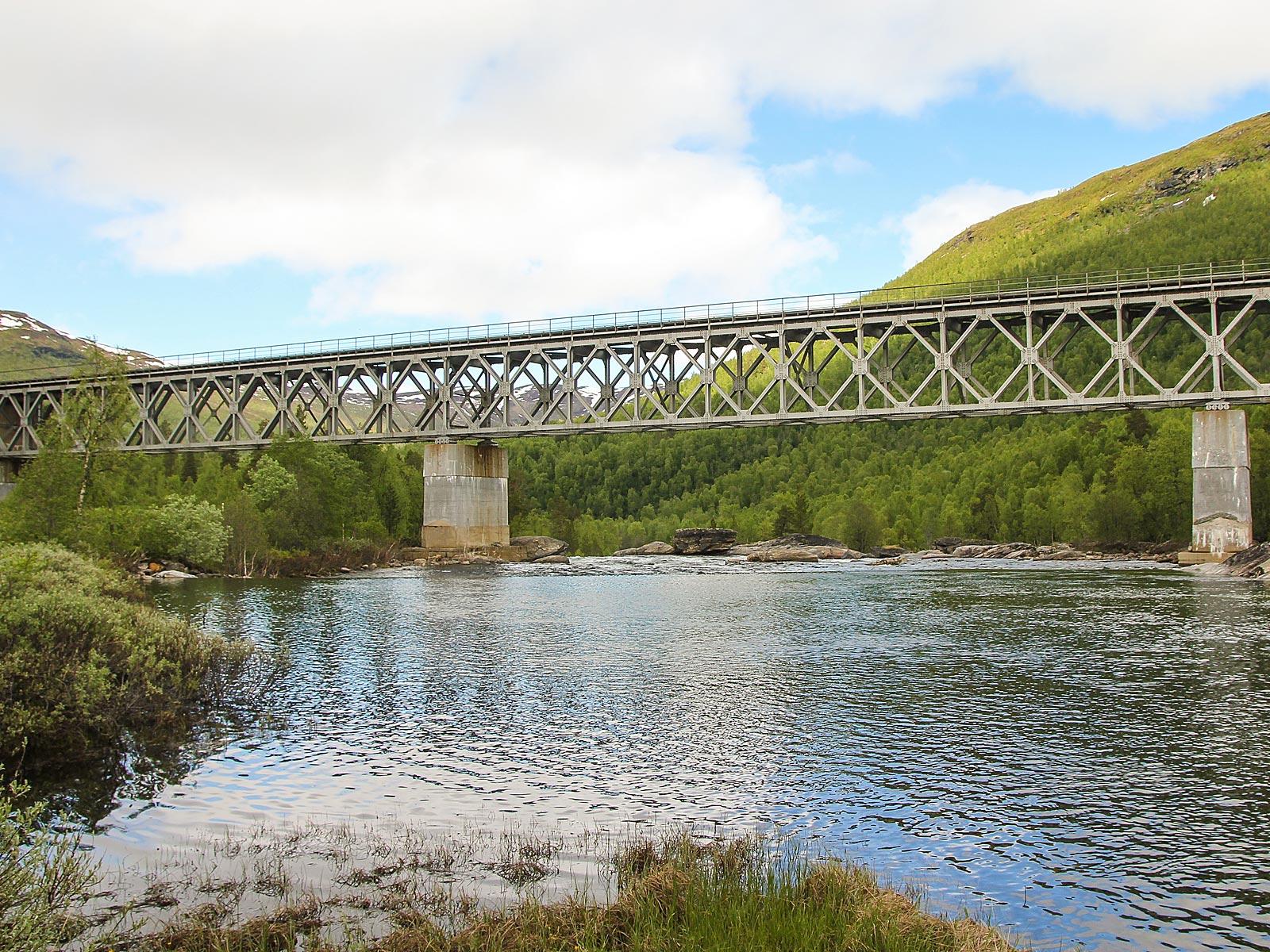
Saltfjellet–Svartisen National Park
About 15 km southeast of Glomfjord, at the end of the mountain road up to Glomfjellet you can find the massive Storglomvass Damm - the world's largest stone dam, on Storglomvatnet. The Storglomvass Dam holds over 3.5 billion cubic meters of water, enough to provide over 500 liters of water to each of the inhabitants of earth. You can park at the top of the hill overlooking the dam, and hike eastwards down to it.
Two large glaciers rest into the scenic environment of Saltfjellet–Svartisen National Park. If you have time, you can also take the road south from the parking area at Storglomvass to the Holmvass Damm, from where you can either continue on to the Svartisen Glacier in Holmvassdalen, or hike up into the hills for some great views over to Svartisen and the surrounding mountains - as always, everything is at your own risk, so take care!


Photos
-
Dave O'Byrne
-
European Touring Route AS
Partners
Highlights


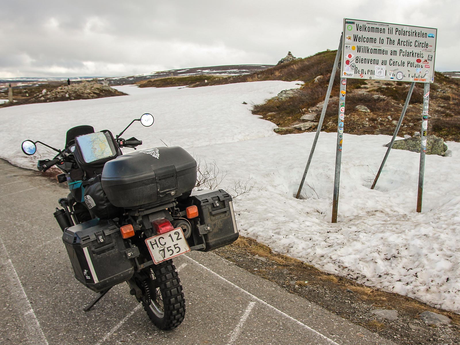
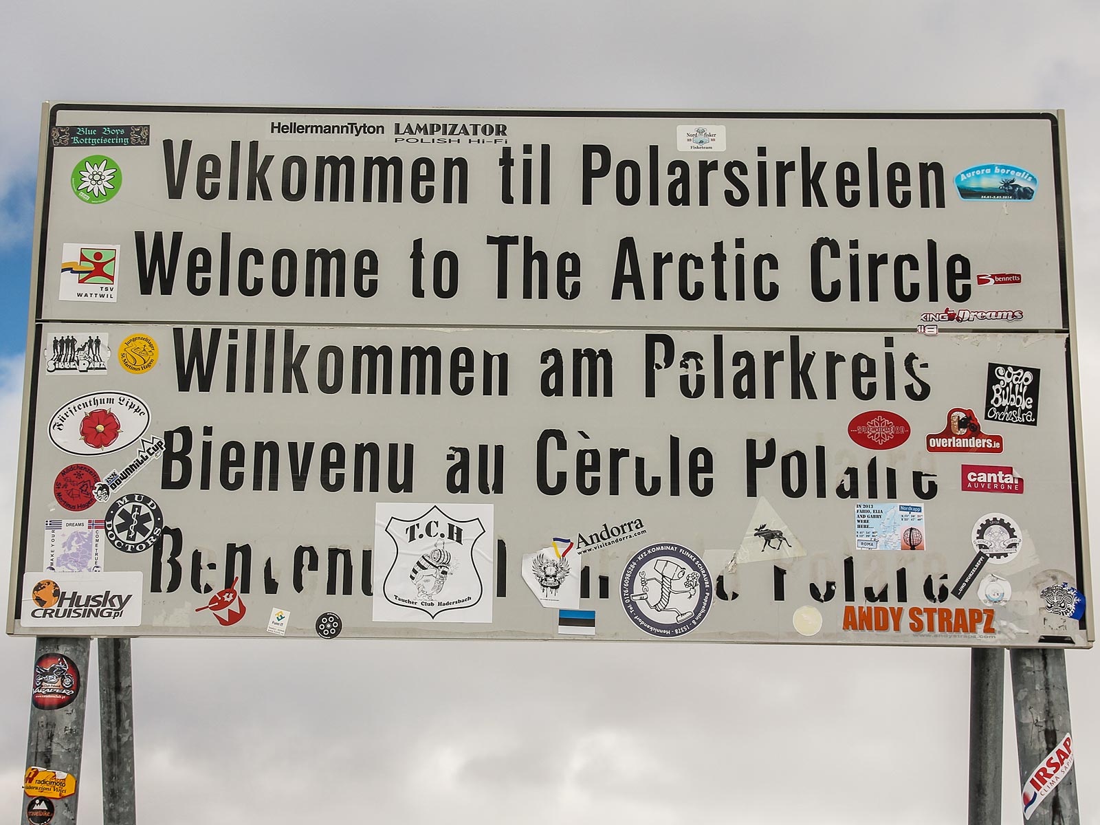
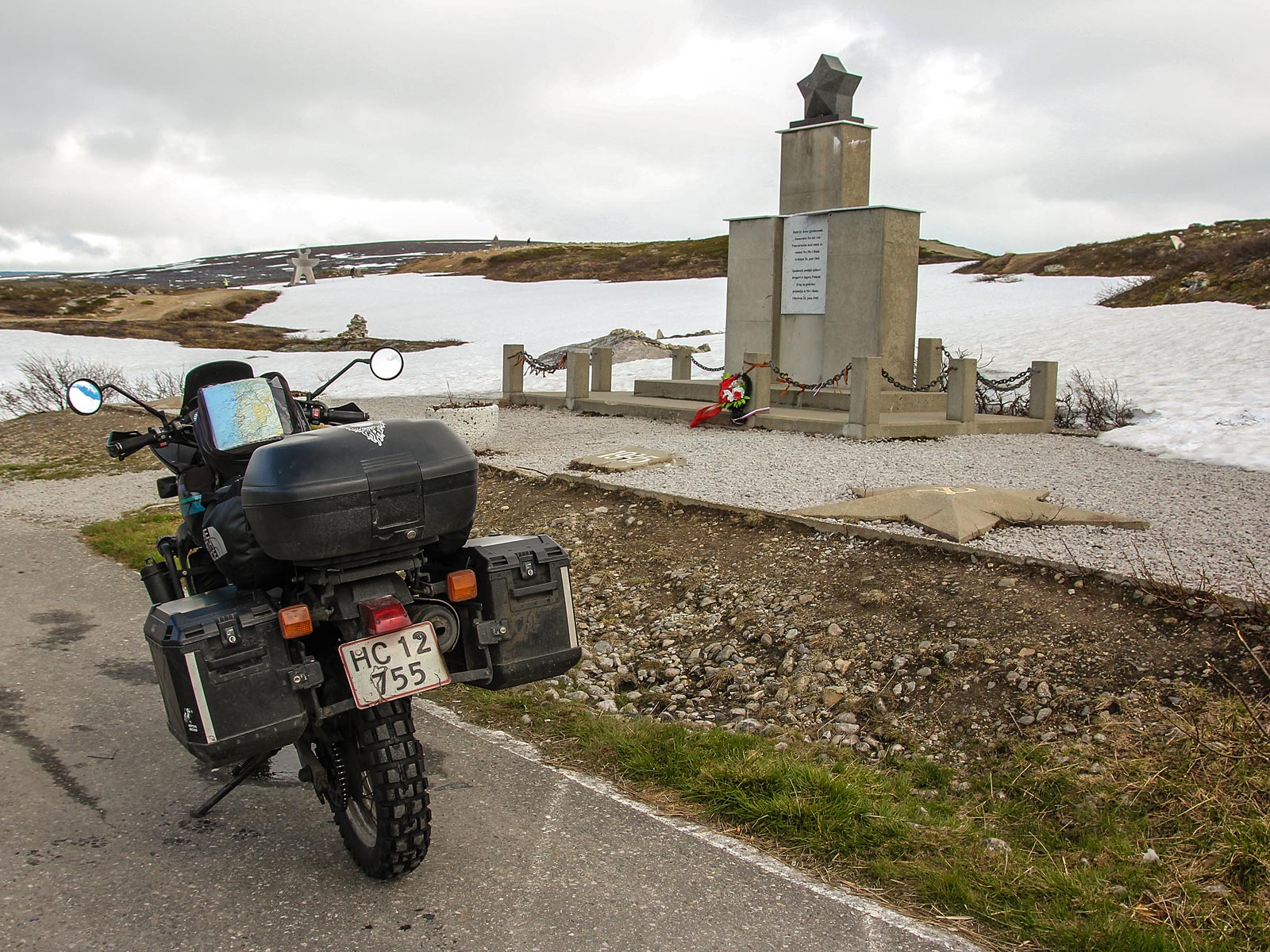
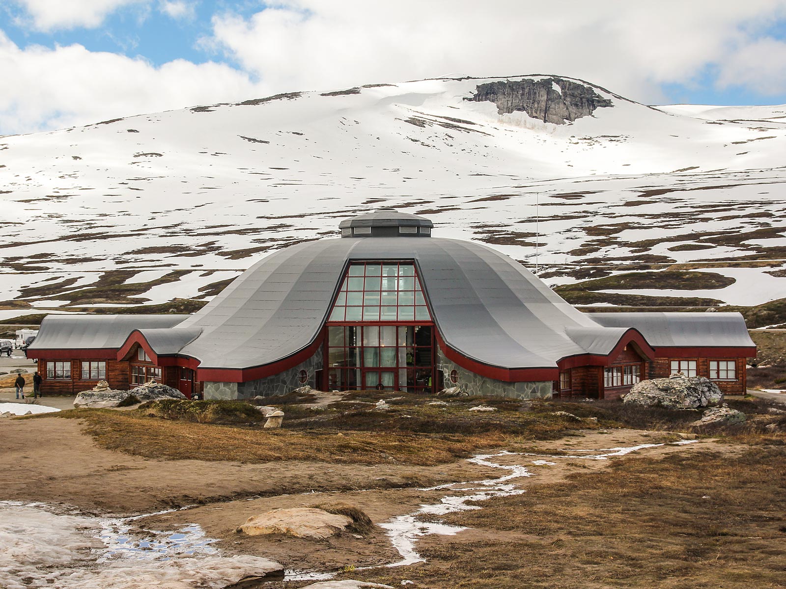
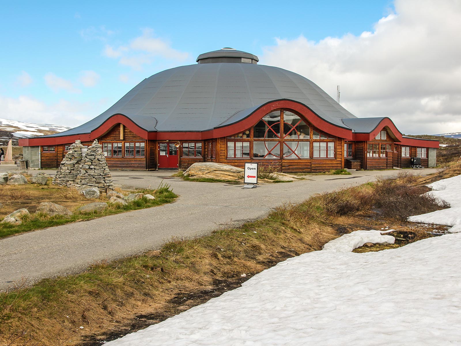
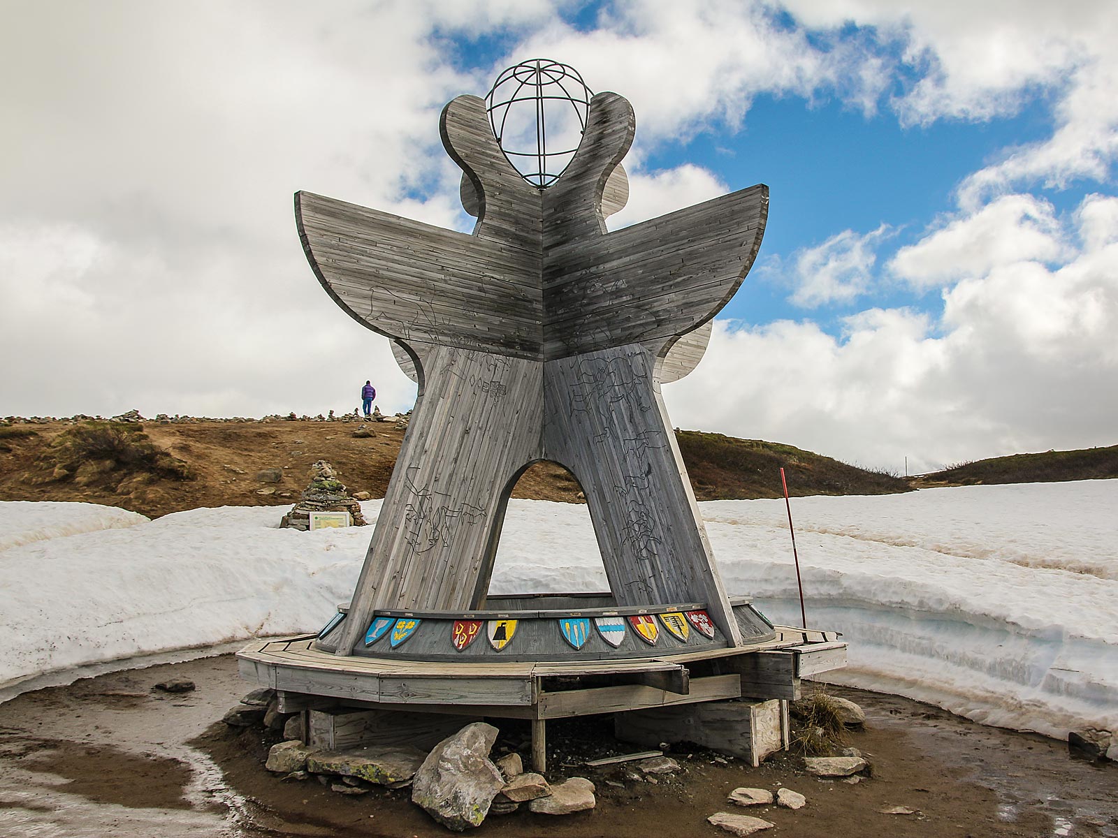
The Arctic Circle Center
Head a bit further north on the European Route E6 for a while and visit the Arctic Circle Center (Polarcirkelcenteret) north of Mo-i-Rana. You can find the Arctic Circle Centre in the middle of Saltfjellet, where you can also can get a certificate to prove you have crossed the Arctic Circle (if you feel you need one).
On the threshold of the Midnight Sun
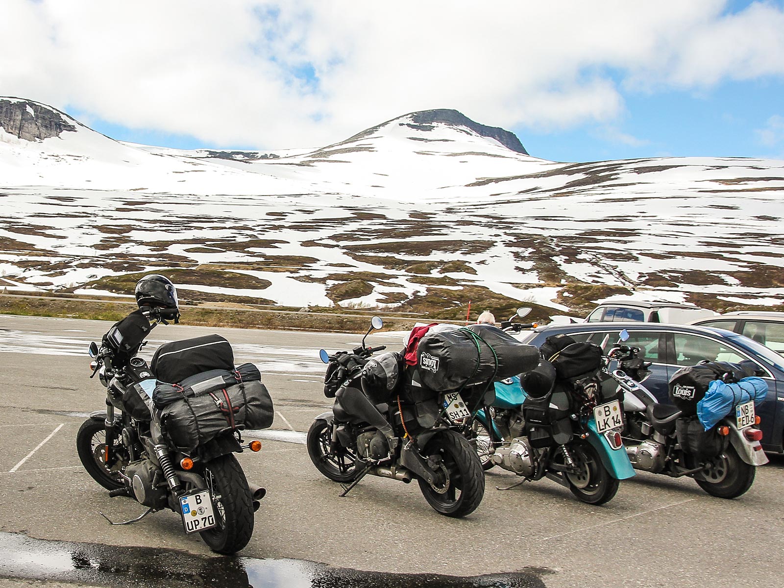
Both the Arctic Circle in the North, and the Antarctic Circle in the South are actually theoretical boundaries of the midnight sun and the darker months. North of the Arctic Circle, the sun is above the horizon 24 hours a day during the Summer, and below the horizon for 24 hours per day, during the Winter months.
An interesting detail about The Arctic Circle, is that it isn't a constant line around the Northern hemisphere, but that it shifts over time. The tilt of the earth is not constant, tilting from 24.5 degrees, to a minimum tilt of 22.1 degrees. To translate this, the Arctic Circle shifts between Moskenes in the north and Brønnøysund in the south. In any case, you'll cross it somewhere, up here...