ETR // Stage 48 // Castellane - Arles

© ETR // European Touring Route AS
Open this stage on the map

Distance

  • Castellane - Arles
  • Radius 100 km
  • 258 km

Highlights

  • Route Napoléon
  • Castellane
  • Verdon National Park
  • Gorges du Verdon
  • The Styx du Verdon
  • Lake of Sainte-Croix
  • Arles Amphitheatre
  • Arles Photography Festival
  • Arles Roman Ruins
  • UNESCO World Heritage Sites
© ETR // European Touring Route AS

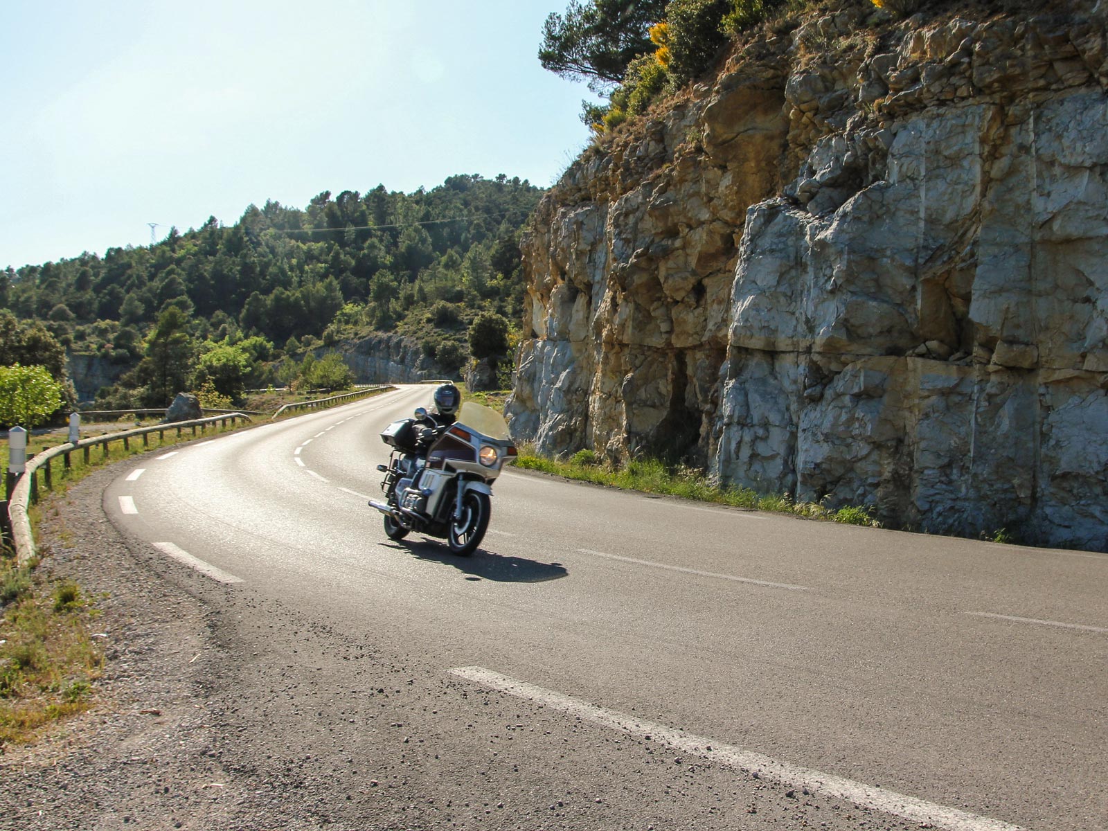
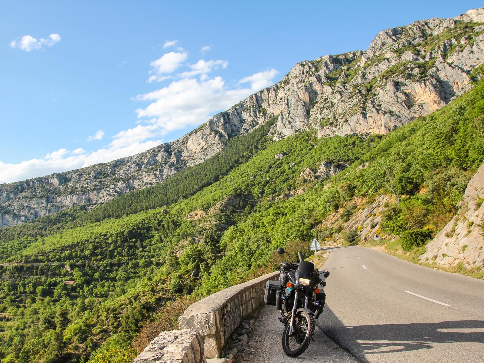
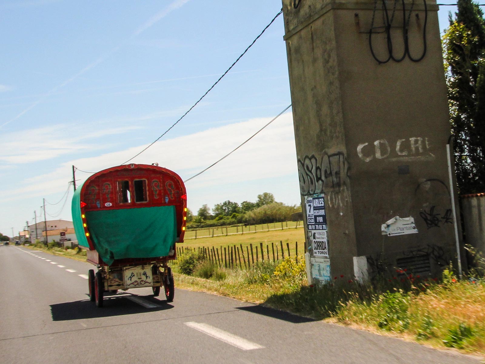
Riding Route Napoléon from Castellane

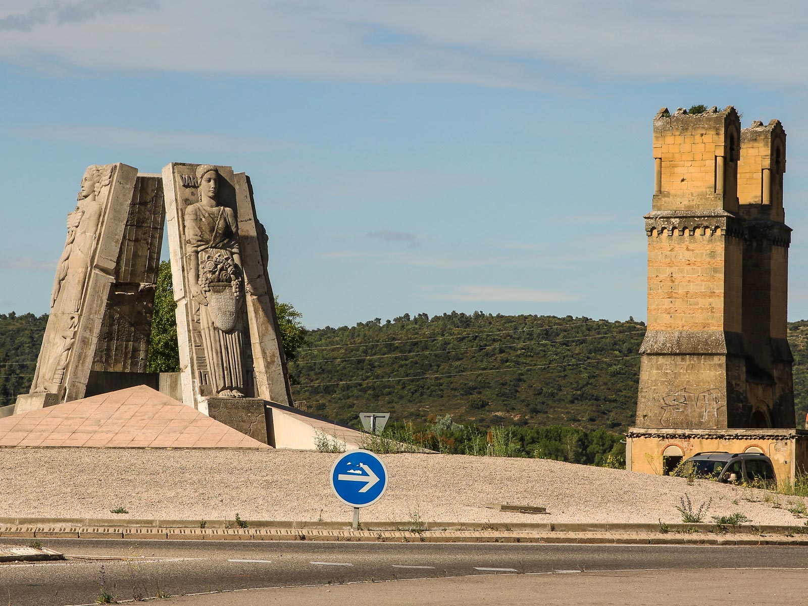
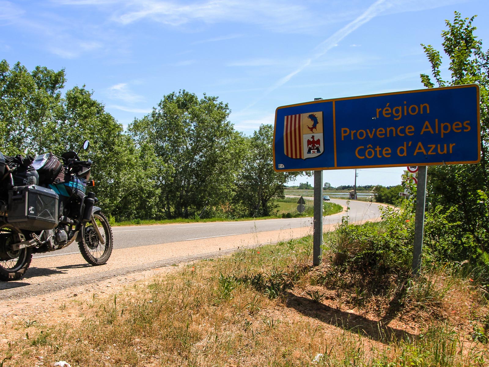
Leaving Castellane in the morning, you can choose to take a ride south or north along The Route Napoléon, which was the route taken by Napoléon in 1815 on his return from Elba. Crossing Castellane at the intersections of routes D955, D952, D4085, and D102, the route begins at Golfe-Juan, where Napoleon disembarked 1 March 1815, beginning the Hundred Days that ended at Waterloo. The road was inaugurated in 1932 and meanders north-northwest from the French Riviera along the foothills of the Alps.

Route Napoléon is marked along the way by statues of the French Imperial Eagle, and runs through the towns of Antibes, Grasse, Saint-Vallier-de-Thiey, Castellane, Digne, Sisteron, Gap, crossing Col Bayard at 1,246 m, then on through Corps, La Mure, Laffrey until it reaches Grenoble. If you wanted to follow this spectacular route south or north,, now is your chance, and it's well worth a few days detour, before you rejoin the ETR a little further south - or north. But actually to ride it in the other direction back to Castellane is also a great option.

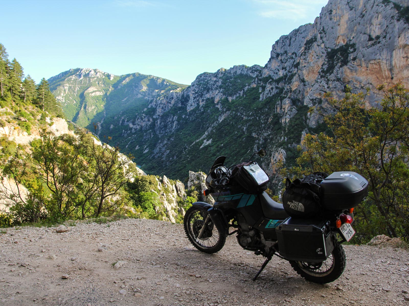
Alternatively, take the Route Napoleon through the Verdon National Park to the Grand Canyon of France, Gorges du Verdon.

© ETR // European Touring Route AS

Gorges du Verdon

Easily accessible on its right bank from the north (via route D952 from Castellane to Moustiers-Sainte-Marie), and on its left bank from the south (via routes D71, D90 and D955 from Aiguines to Castellane), The Verdon Gorge in south-eastern France in the Alpes-de-Haute-Provence is a river canyon which is often considered to be one of Europes most beautiful areas. The gorge itself is about 25 kilometers long and up to 700 meters deep and was formed by the Verdon River, which is named after its startling turquoise-green colour, one of the canyons most distinguishing characteristics. Gorgeous.

In between the towns of Castellane and Moustiers-Sainte-Marie, the river cut a ravine to a depth of 700 meters through the limestone mass. The limestone walls, which are several hundreds of metres high, attract many rock climbers, and it is considered an outstanding destination for multi-pitch climbing, with 1,500 routes available ranging from 20 metres to over 400 metres. The gorge is very popular with tourists, who can drive around its rim, rent kayaks to travel on the river, or just to hike. At the end of the canyon, the Verdon flows into the artificial Lake of Sainte-Croix. The Styx du Verdon, associated with the river Styx of Greek mythology, is an area of sub-canyon within the gorge. You could spend a couple of days here and ride the gorge in both directions, there's plenty in this area to keep you here!

© ETR // European Touring Route AS

Travel back in time in Arles

Arles, a coastal city and commune in the South of France is a subprefecture in the Bouches-du-Rhône department of the Provence-Alpes-Côte d'Azur region, in the former province of Provence. Try saying that after a couple of glasses of Affligem!

A large part of the Camargue, the largest wetlands in France, is located on the territory of the commune, making it the largest commune in Metropolitan France in terms of geographic territory. In 1981, Arles Amphitheatre was listed as a UNESCO World Heritage Site, together with other Roman and medieval buildings of the city, as part of the Arles, Roman and Romanesque Monuments group.

© ETR // European Touring Route AS

Arènes d'Arles

The Roman Arles Amphitheatre is probably the most prominent tourist attraction from the city which thrived in Ancient Rome. Built in 90 AD, the amphitheatre held over 20,000 spectators of chariot races and bloody hand-to-hand battles. Lately, it draws smaller crowds for bullfighting during the Feria d'Arles as well as plays and concerts in summer.

The building measures 136 m (446 ft) in length and 109 m (358 ft) wide, and features 120 arches. It has an oval arena surrounded by terraces, arcades on two levels (60 in all), bleachers, a system of galleries, drainage system in many corridors of access and staircases for a quick exit from the crowd. It was obviously[citation needed] inspired by the Colosseum in Rome (in 72-80), being built slightly later (in 90). The amphitheatre was not expected to receive 25,000 spectators, the architect was therefore forced to reduce the size and replace the dual system of galleries outside the Colosseum by a single annular gallery. This difference is explained by the conformation of the land. This "temple" of the games housed gladiators and hunting scenes for more than four centuries. With the fall of the Western Empire in the 5th century, the amphitheatre became a shelter for the population and was transformed into a fortress with four towers. The towers jutting out from the top are medieval add-ons.

© ETR // European Touring Route AS

Arles and the soldiers of the Sixth

Arles' leaders sided with Julius Caesar against Pompey, providing military support. Massalia backed Pompey; when Caesar emerged victorious, Massalia was stripped of its possessions, which were transferred to Arelate as a reward. The town was formally established as a colony for veterans of the Roman legion Legio VI Ferrata, which had its base there. Its full title as a colony was Colonia Iulia Paterna Arelatensium Sextanorum, "the ancestral Julian colony of Arles of the soldiers of the Sixth."

© ETR // European Touring Route AS

Photos

  • Dave O'Byrne

  • European Touring Route AS

Partners

© ETR // European Touring Route AS

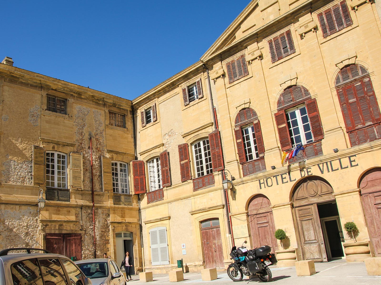
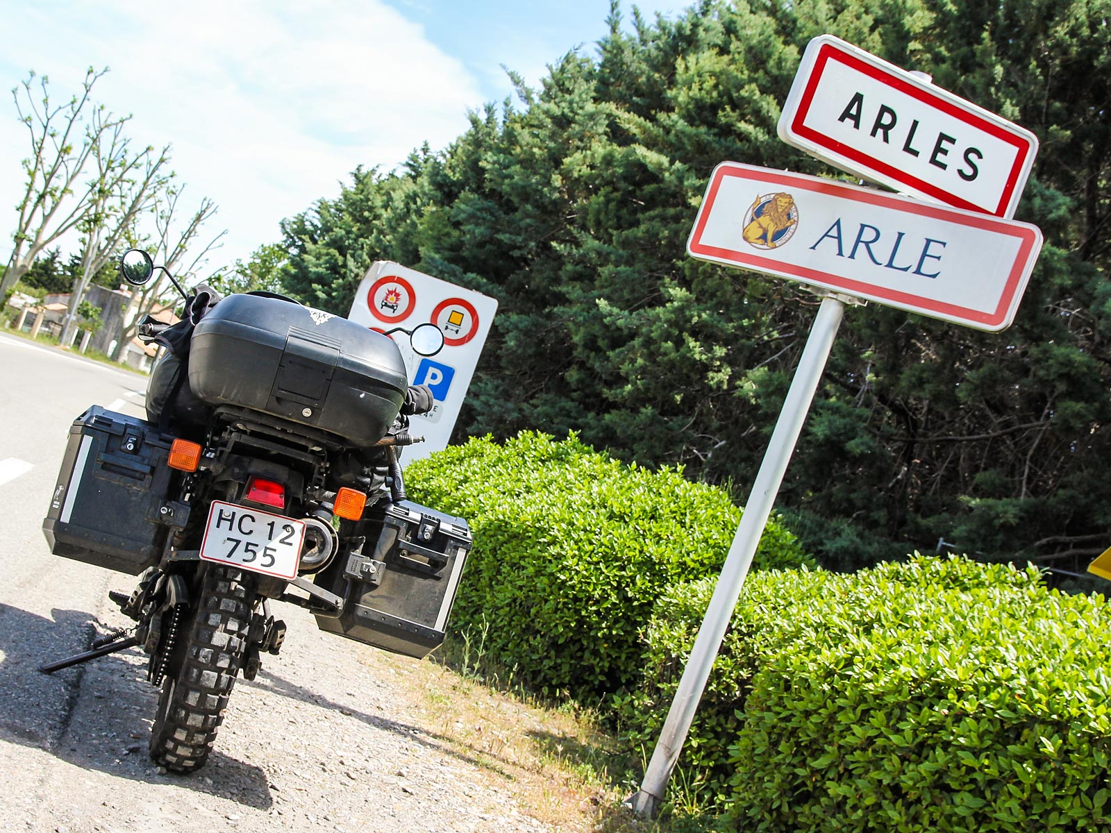
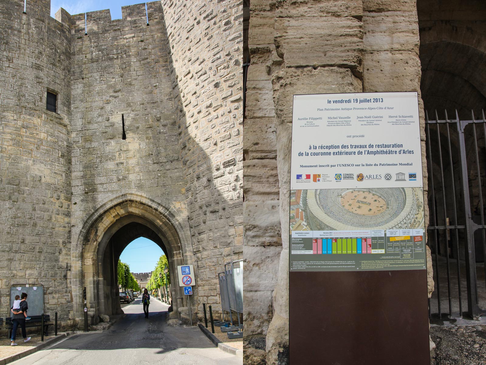
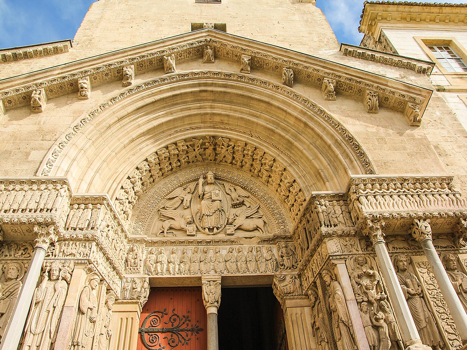
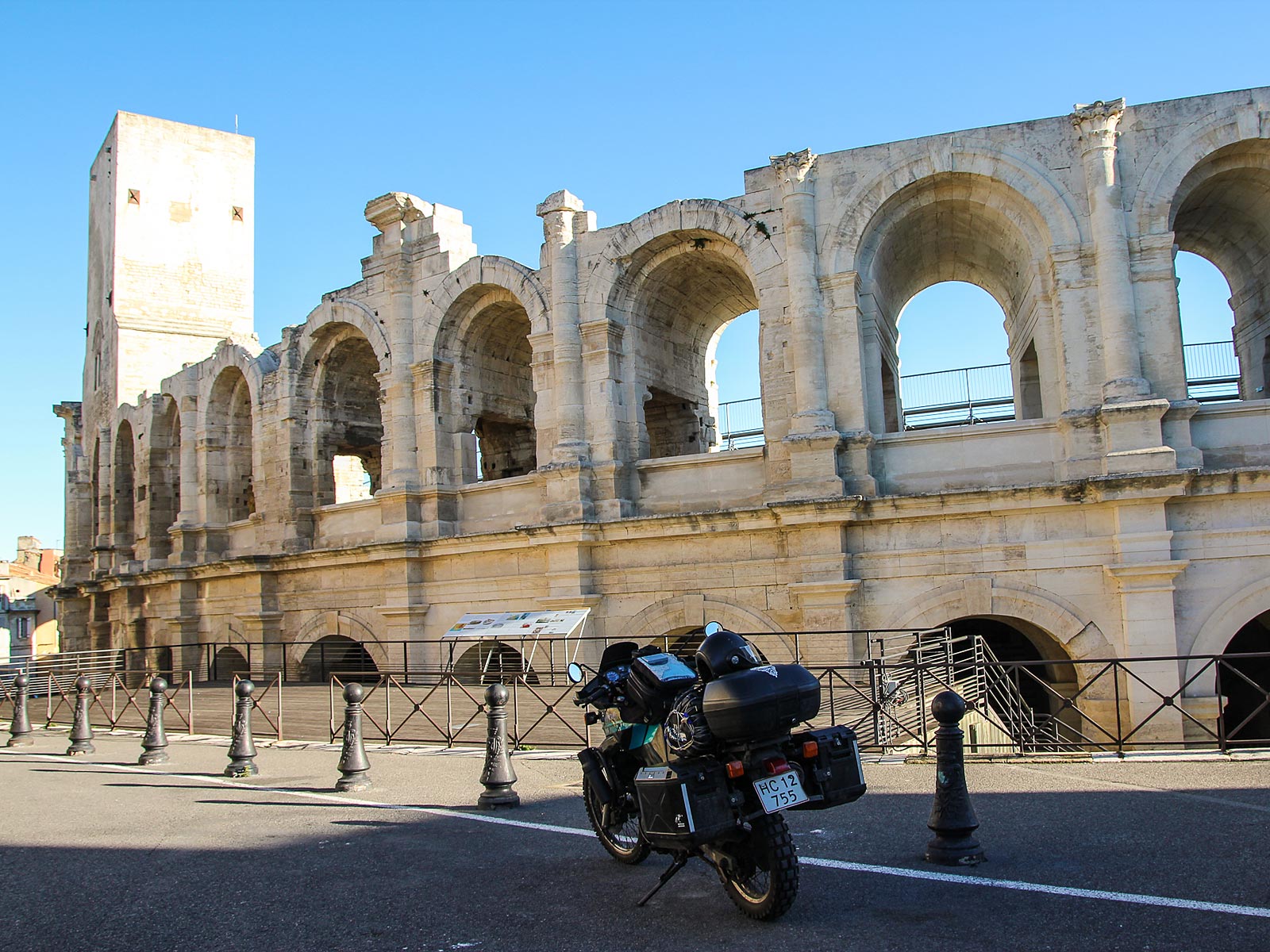
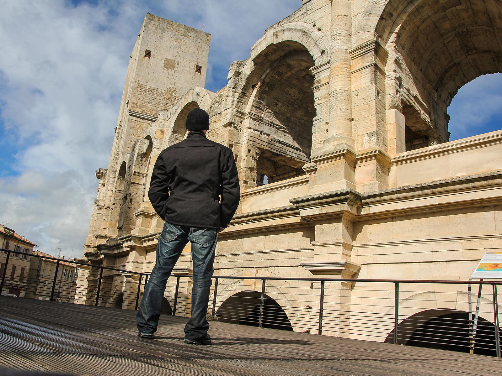
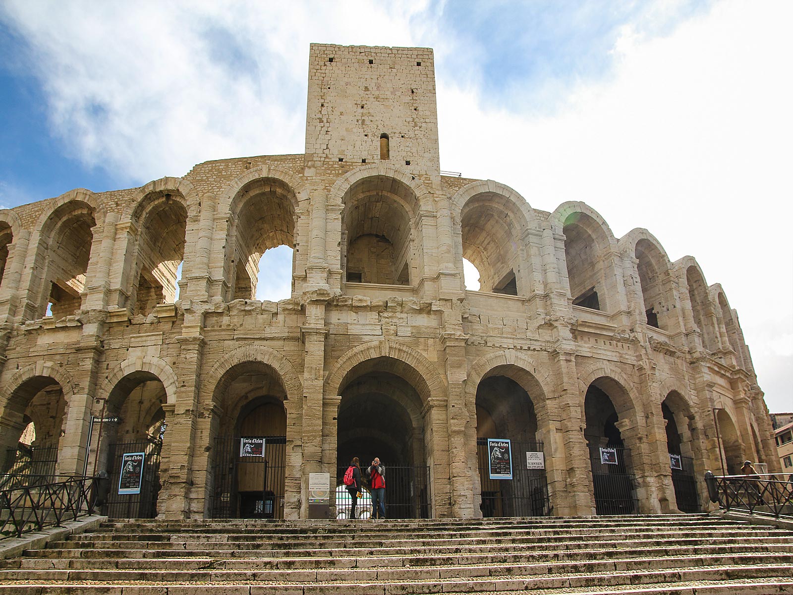
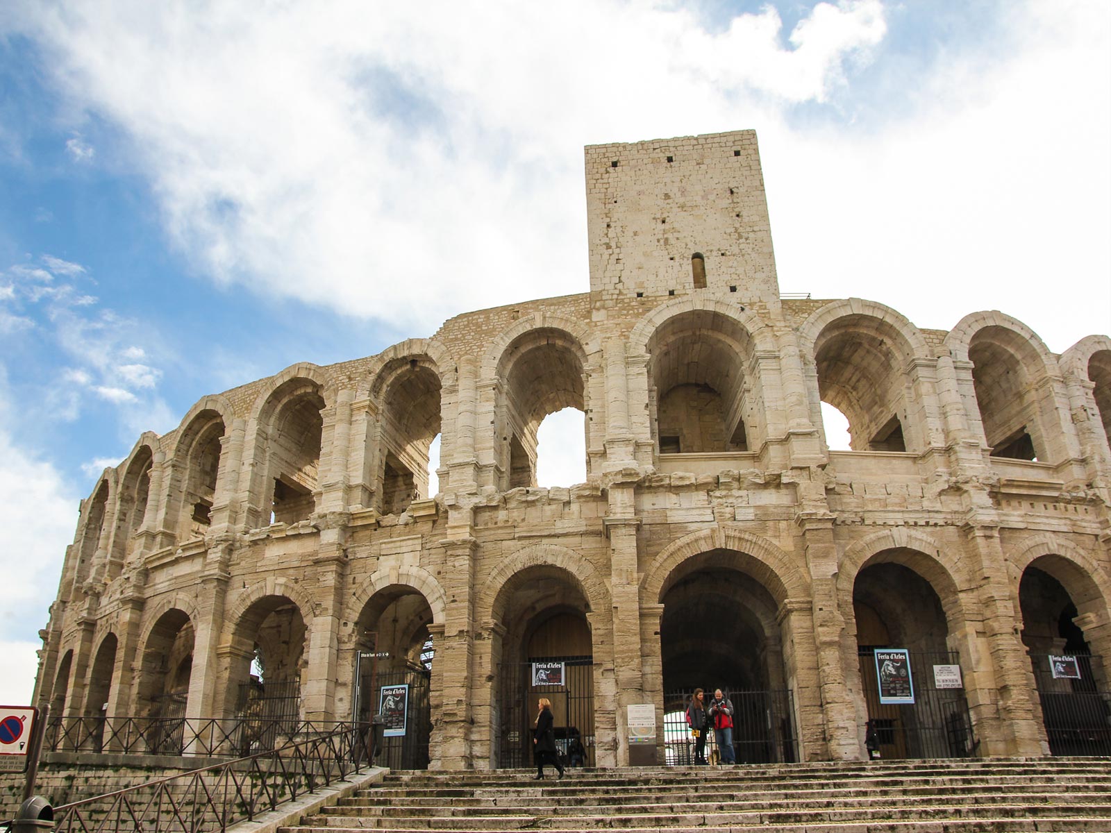
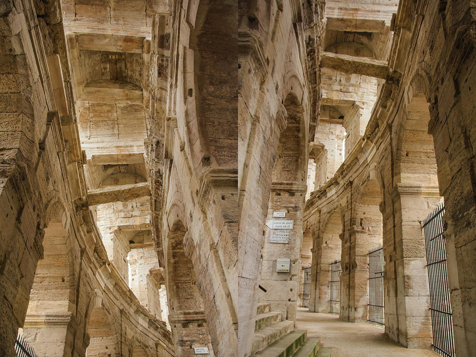
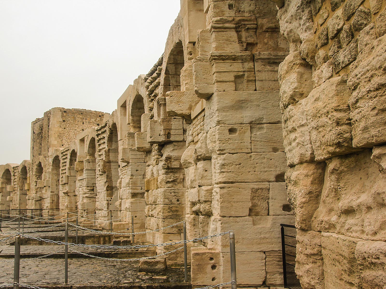
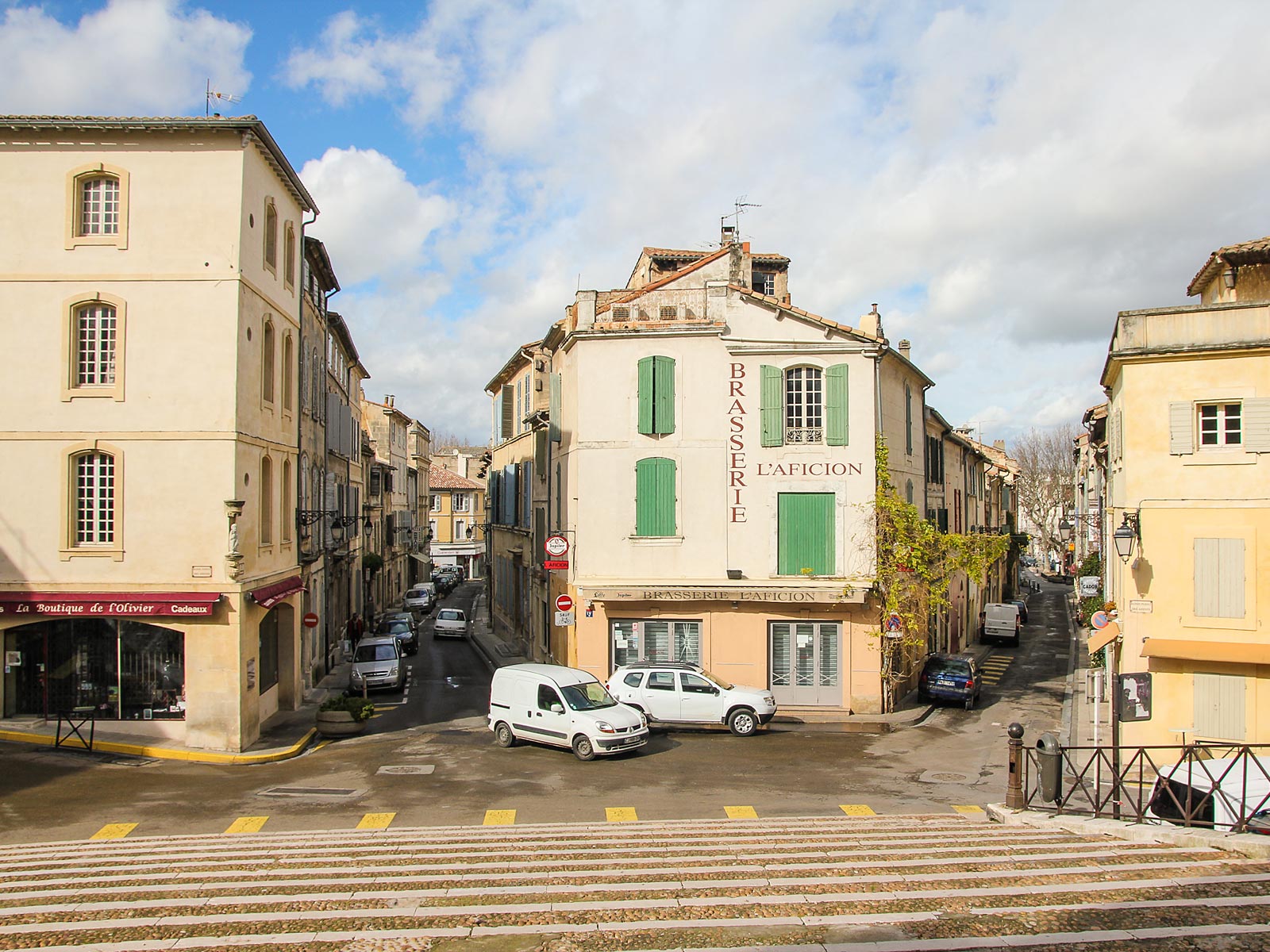
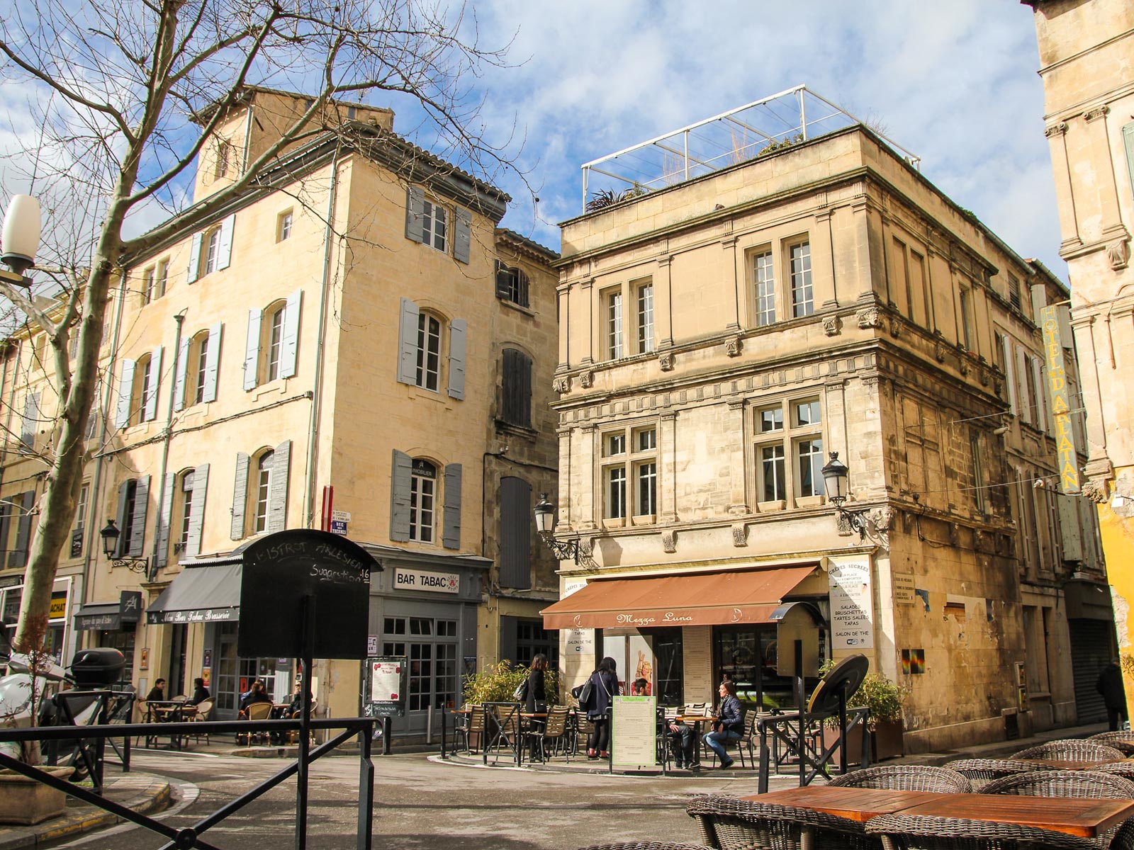
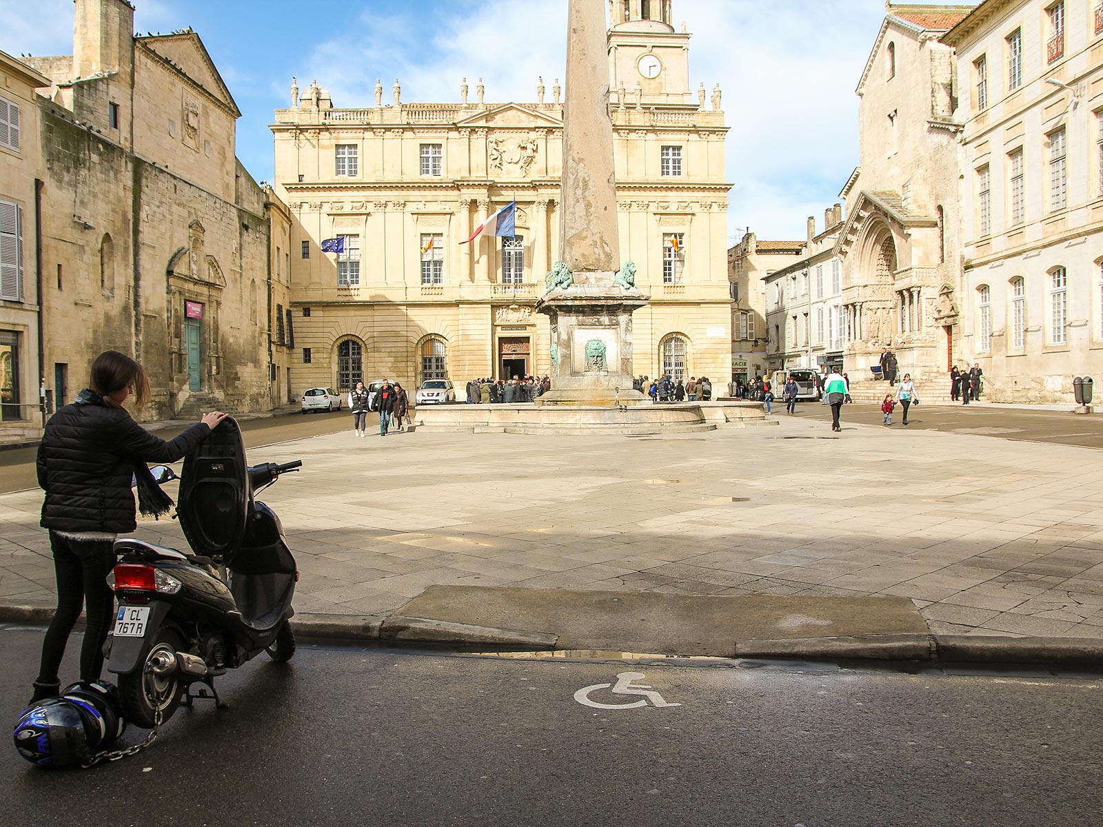
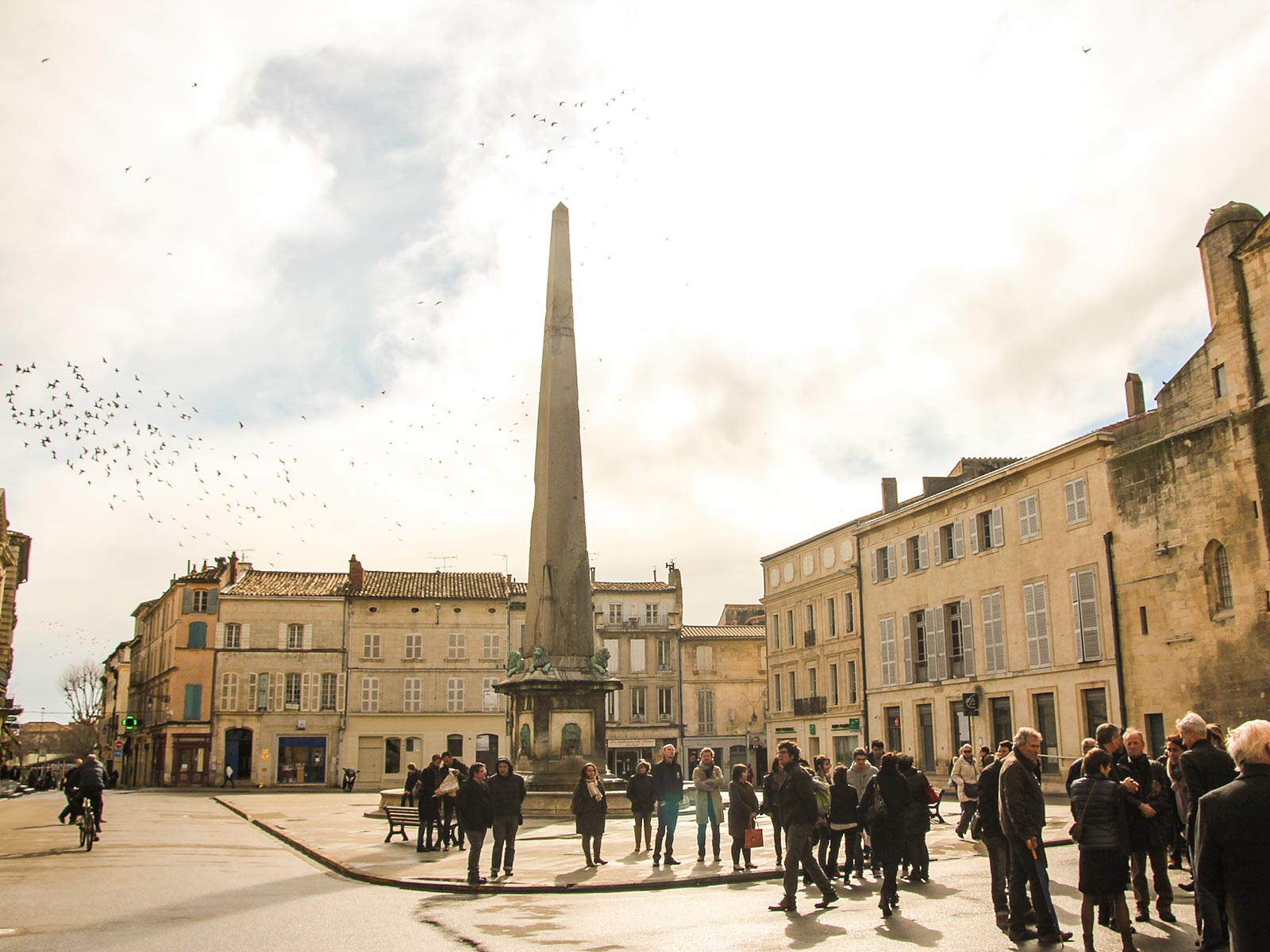
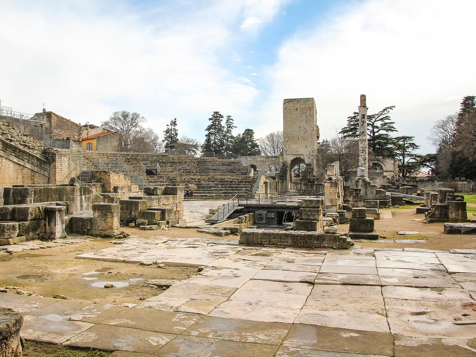
Arles Old Town of the artists

Many artists have lived and worked in this area because of the beautiful southern lighting conditions, including Pablo Picasso, Paul Gauguin, Jacques Réattu, and Peter Brown, among others. The Dutch post-Impressionist painter Vincent van Gogh lived in Arles from 1888 to 1889, and produced over 300 paintings and drawings during his time there. These are in internationally known museums and private collections around the world. An international photography festival has been held annually in the city since 1970.
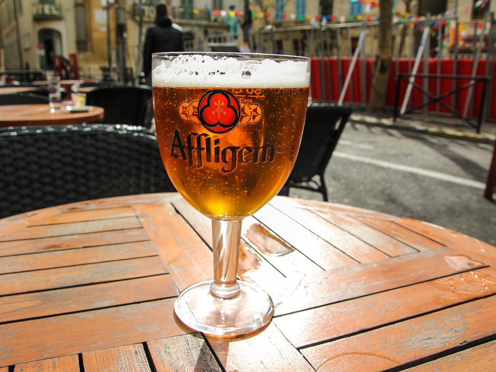
Anyway, time for a beer before the next dose of deep culture and art history.

© ETR // European Touring Route AS

Arles Roman Ruins

Arles has a long history, and was of considerable importance in the Roman province of Gallia Narbonensis. The Ligurians were in this area from about 800 B.C. and later, Celtic influences have also been discovered. The city became an important Phoenician trading port, before it was taken over by the Romans in 123 BC and they expanded it into an important city. They built a canal link to the Mediterranean Sea in 104 BC. Arles had to compete with Massalia (Marseille) further along the coast.

ETR 60 Stages

© ETR.world. ETR.travel. ETR XR. All rights reserved. EU Copyright | GDPR | SDG's | Cookies | Terms | Credits