-
47°33'13.1"N 10°44'10.2"E
-
47.553630, 10.736174
Distance
Highlights


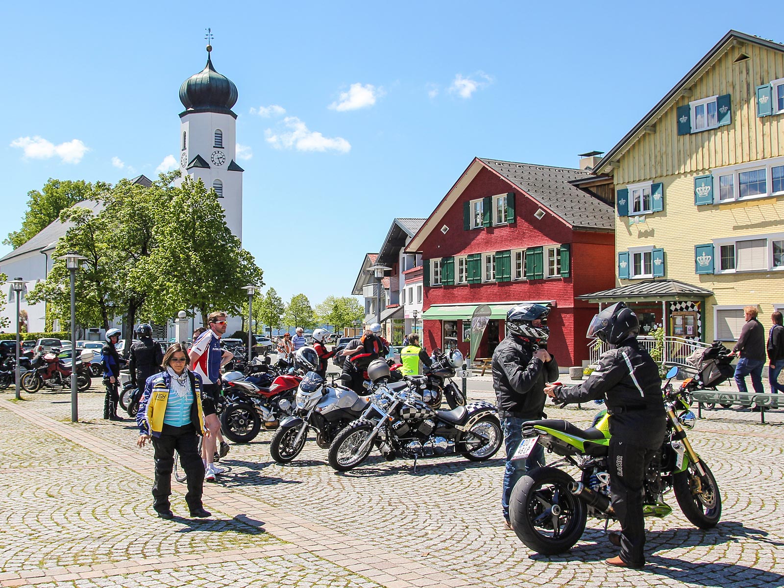
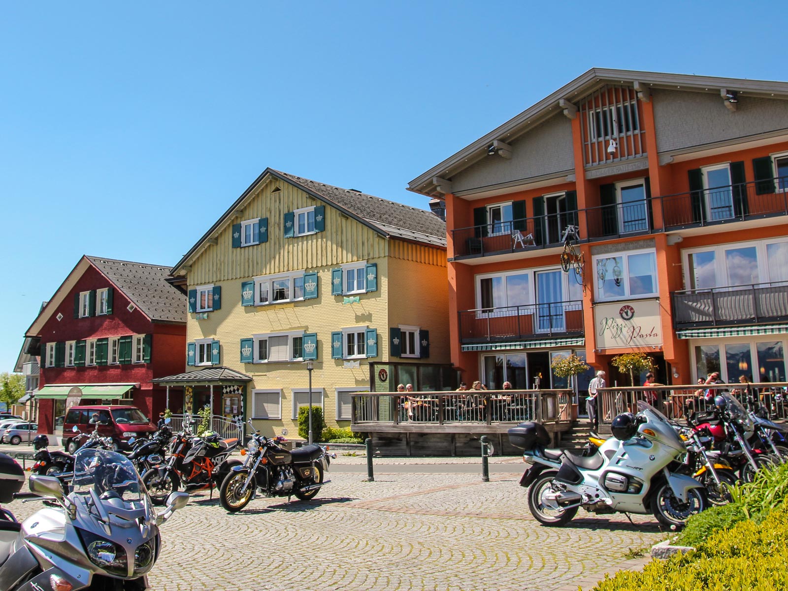
Altstadt Füssen
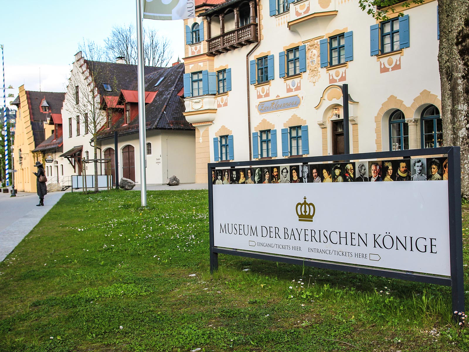
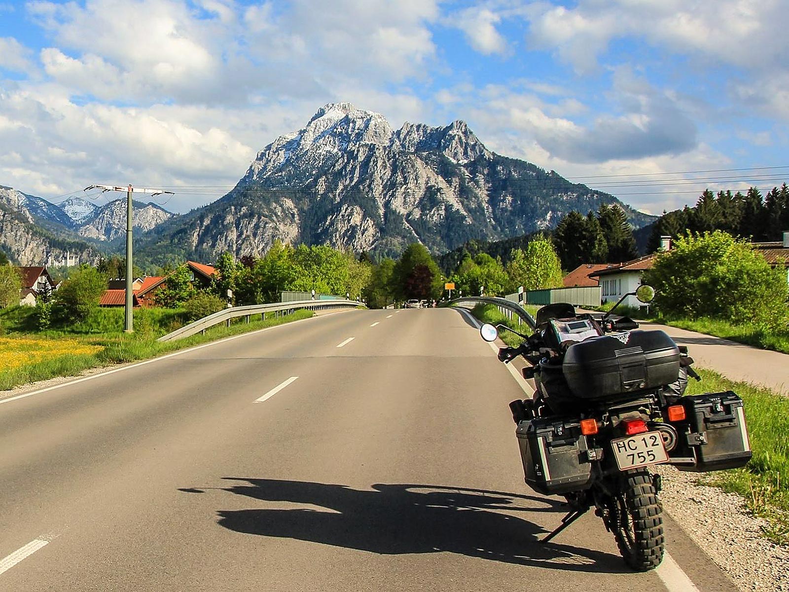
An iconic Bavarian town in southern Germany, Füssen is positioned just north of the Austrian border, and you should take some time to explore The Old Town (Altstadt Füssen) and visit Hohes Schloss where the Gothic castle contains a regional art museum. Also, take a look at the Franciscan Monastery of St Stephen (Franziskanerkloster). The museum of St. Mangs Abbey showcases the violin and lute-making industry, and nearby, Tegelberg mountain has a ski resort, a panoramic cable car and an alpine slide, a wild experience you do not want to have on your motorcycle!
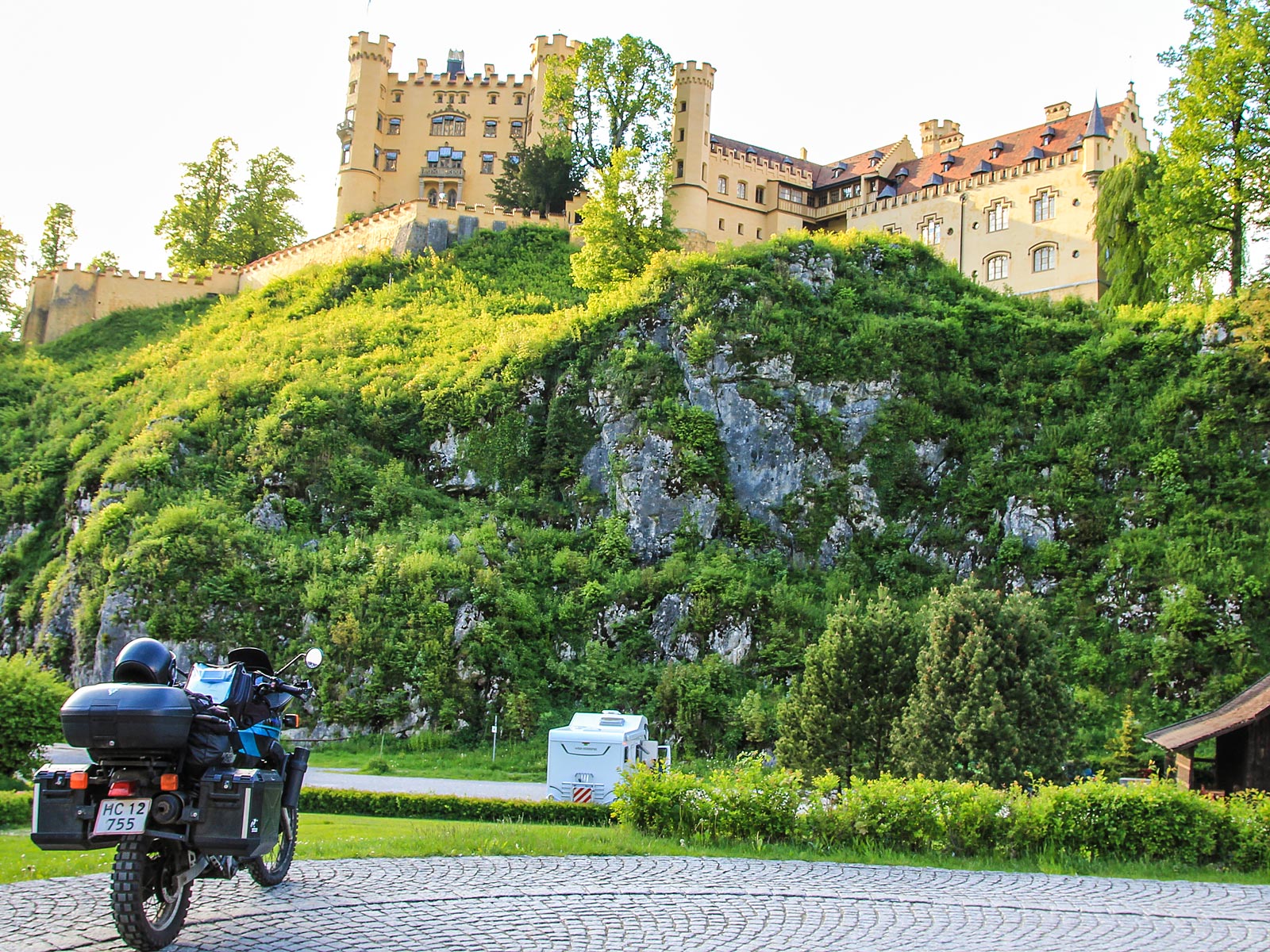
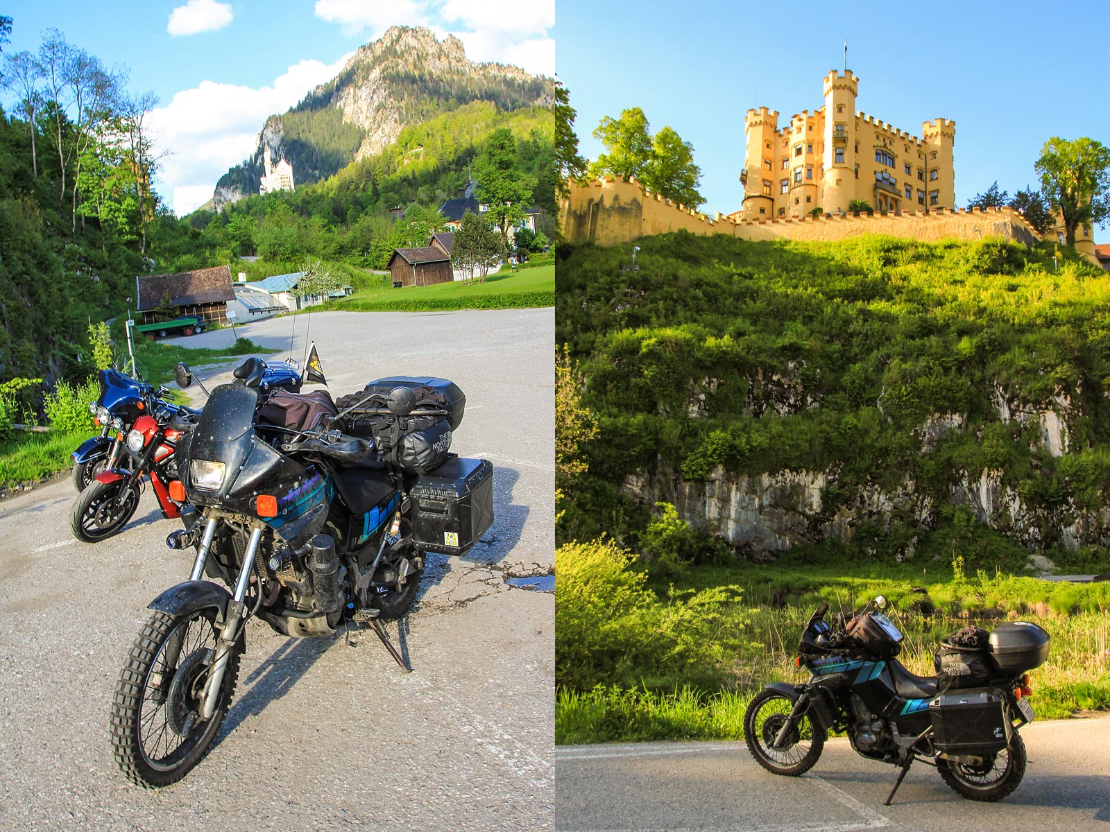
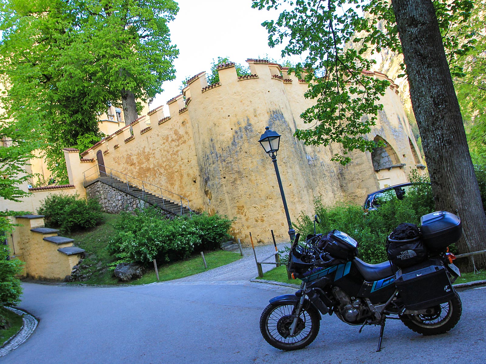
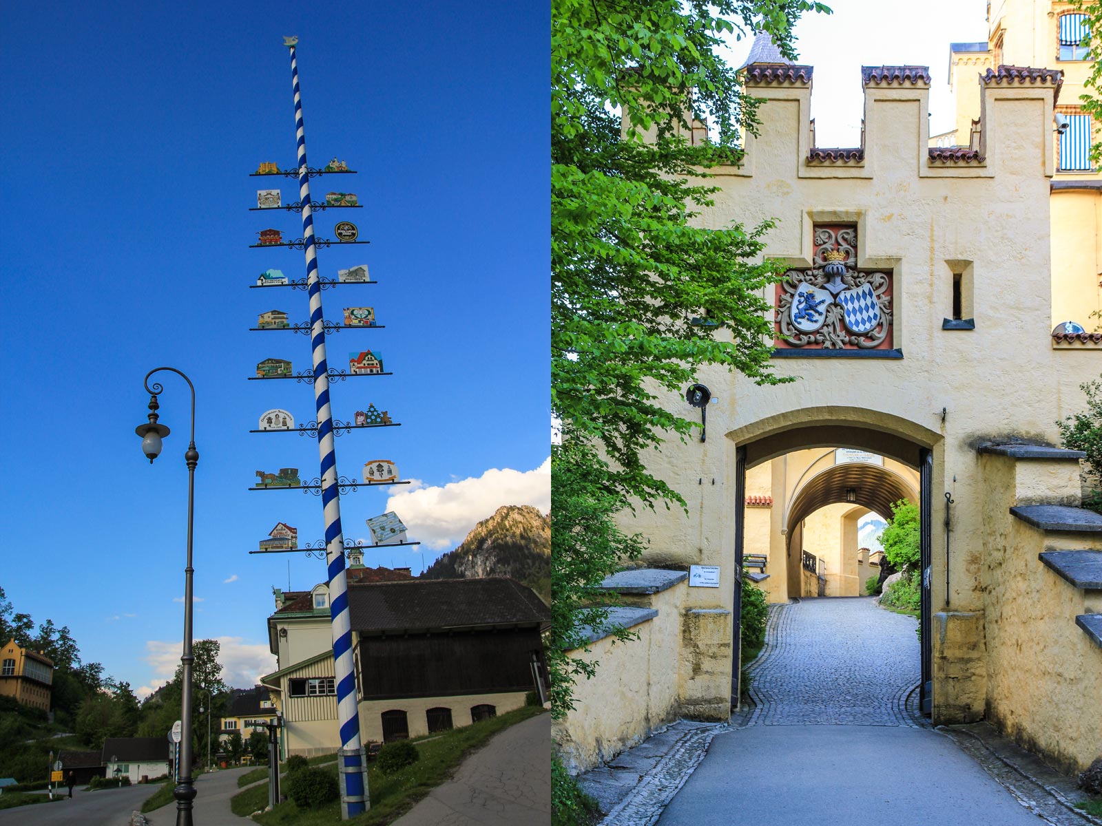
Füssen - Fairytales and Fantasy Castles
When you find yourself in Füssen, you have to visit the eclectic castles of Bavarian King Ludwig II. Schloss Neuschwanstein and Schloss Hohenschwangau make for some spectacular photographs and great castle tours. You can explore both castles during the day, then explore the town of Füssen at night. It's both rewarding and easy to spend a few days in Füssen as there is a lot to take in, here.


Photos
-
Dave O'Byrne
-
European Touring Route AS
Partners
Highlights


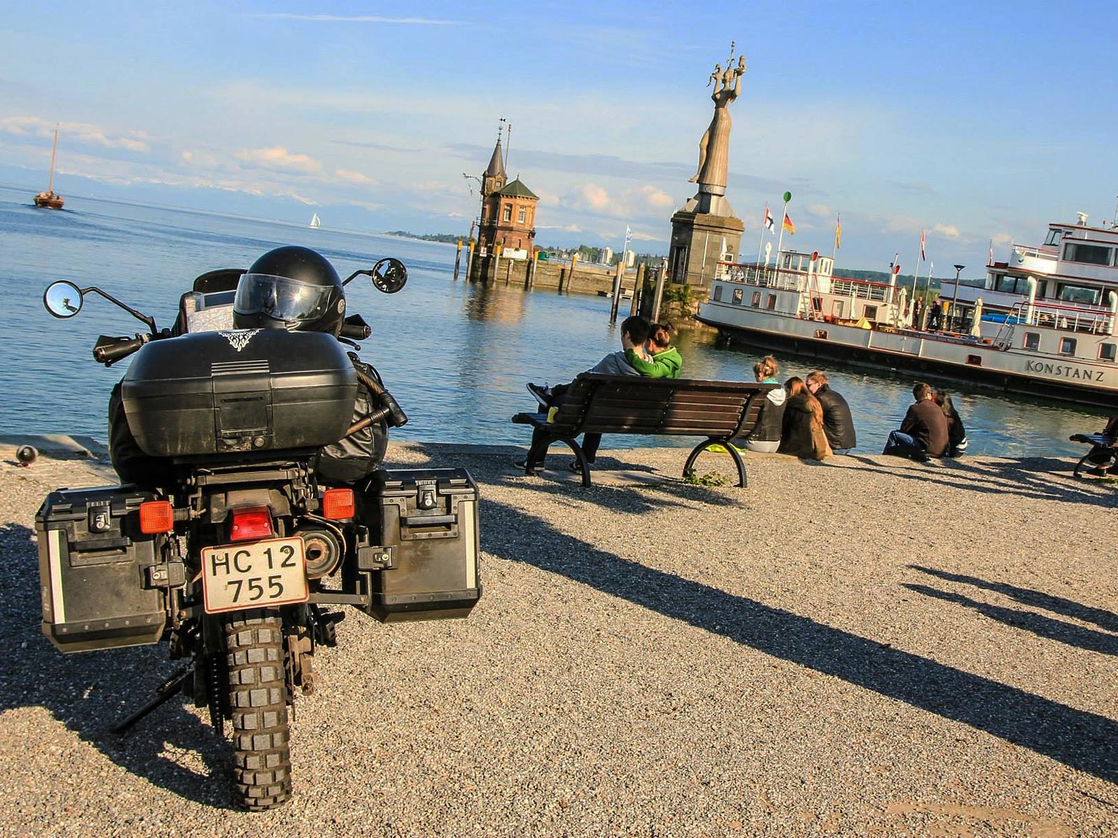
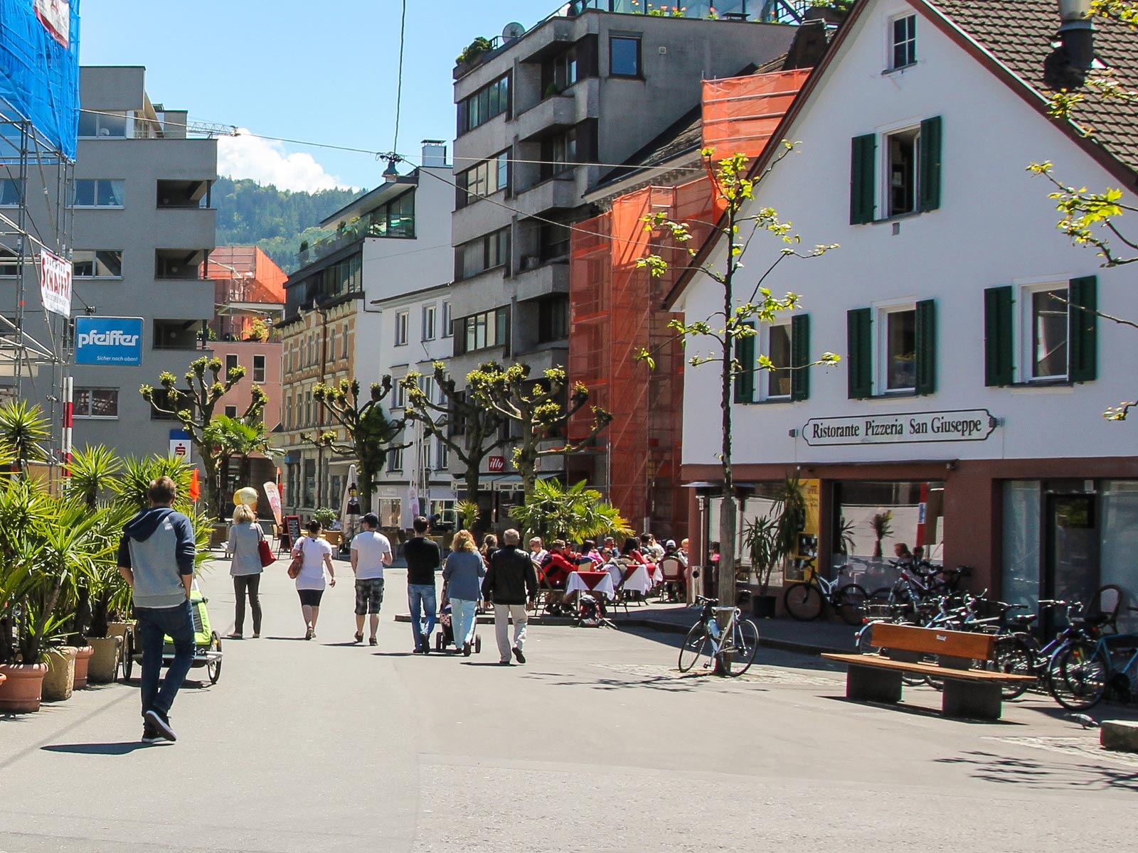
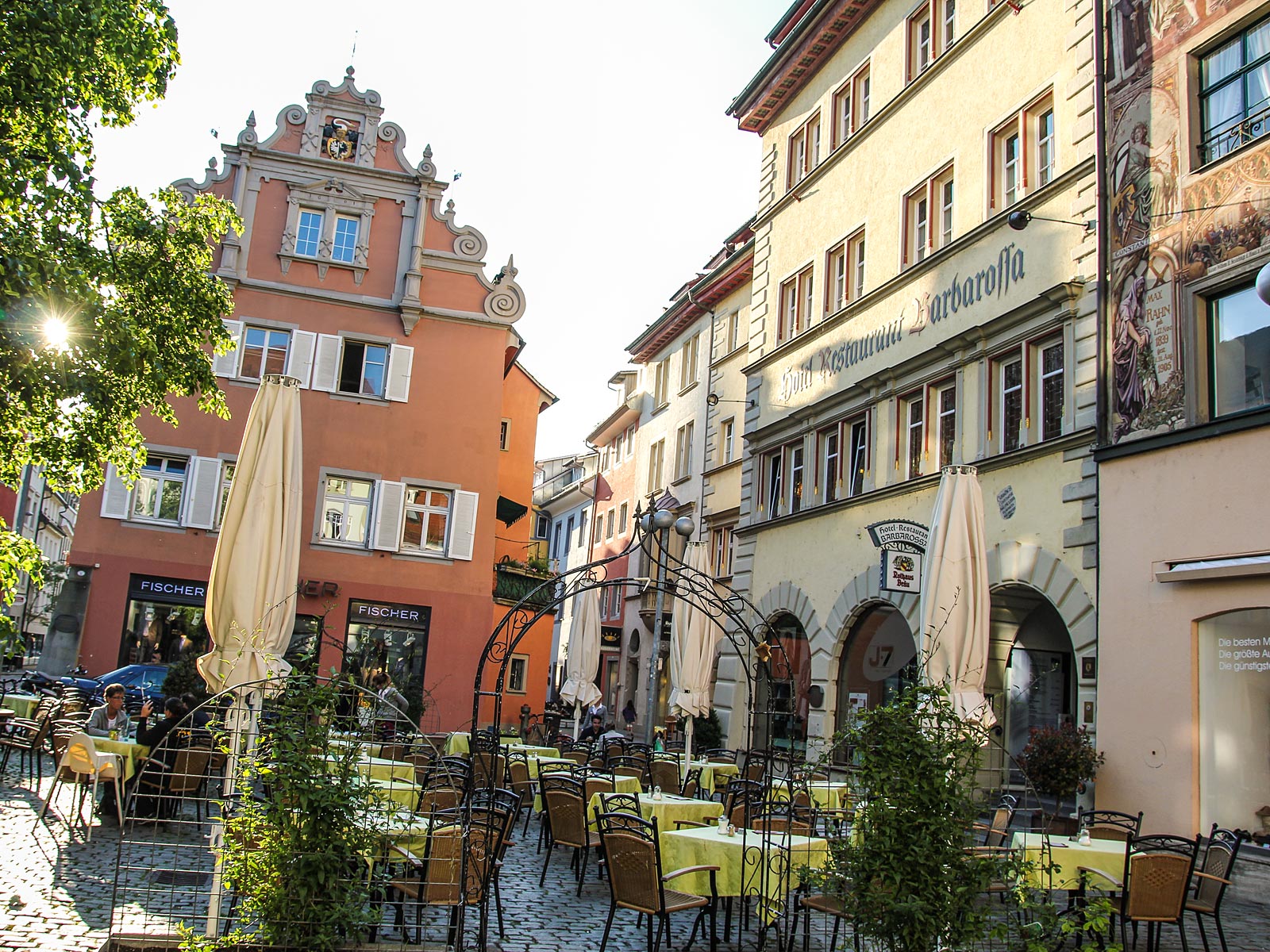
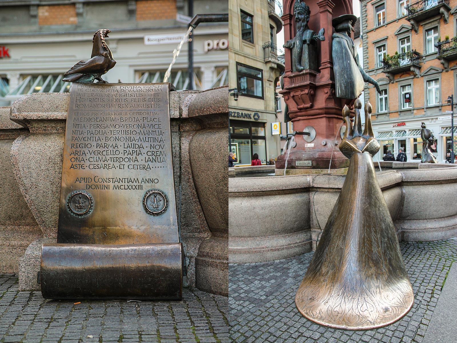
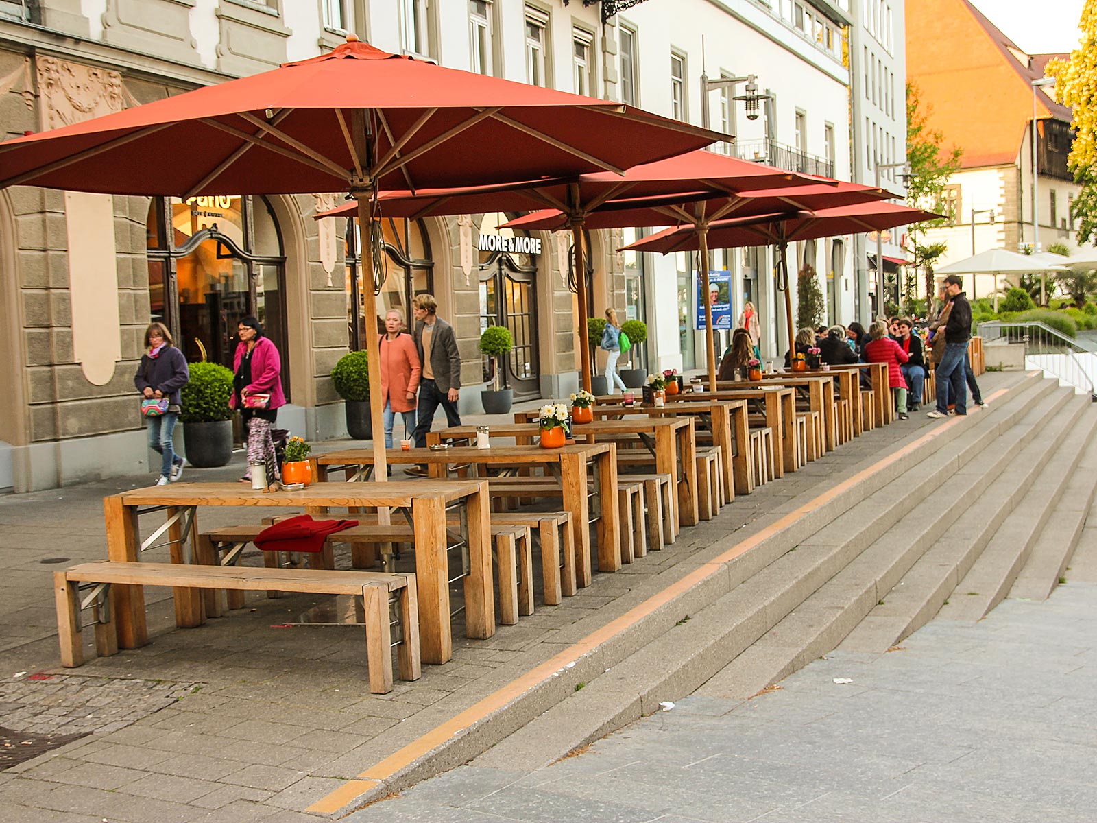
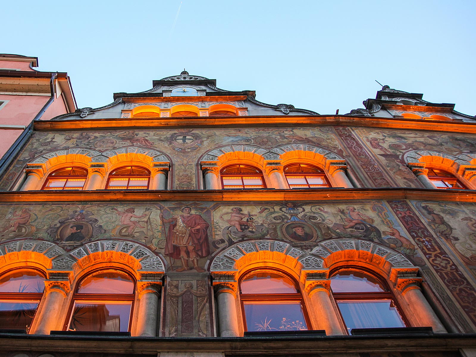
Float around Konstanz Altstadt
The Altstadt (Old Town) is relatively large considering the small size of modern Konstanz, and contains many old buildings and twisting alleys. From the roof of your hotel, you'll see that the city skyline is dominated by Konstanz Cathedral, several other churches and three towers left over from the city wall, one of which marks the place of the former medieval bridge over the Rhine. The well-preserved medieval district of Niederburg includes the Romanesque Konstanz Cathedral, known for its Gothic spire and mix of decorative styles.
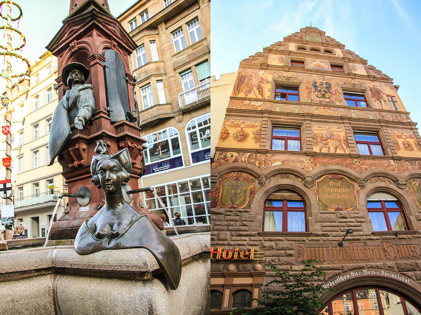
Rosgartenmuseum chronicles the local cultural history and heritage, exhibiting prehistoric to 20th-century objects. You should also visit Konstanz town hall, which is adorned with delicate frescoes and a Renaissance-style courtyard. Konstanz was also the birthplace of Count Ferdinand von Zeppelin, constructor of the famous Graf Zeppelin airships, such as The Hindenburg.